
Töömoyun
| Töömoyun | |
|---|---|
 Töömoyun | |
| Highest point | |
| Elevation | 1,403 m (4,603 ft) |
| Coordinates | 40°21′21″N 72°35′56″E / 40.3558°N 72.599°E |
| Geography | |
| Location | Kyrgyzstan |
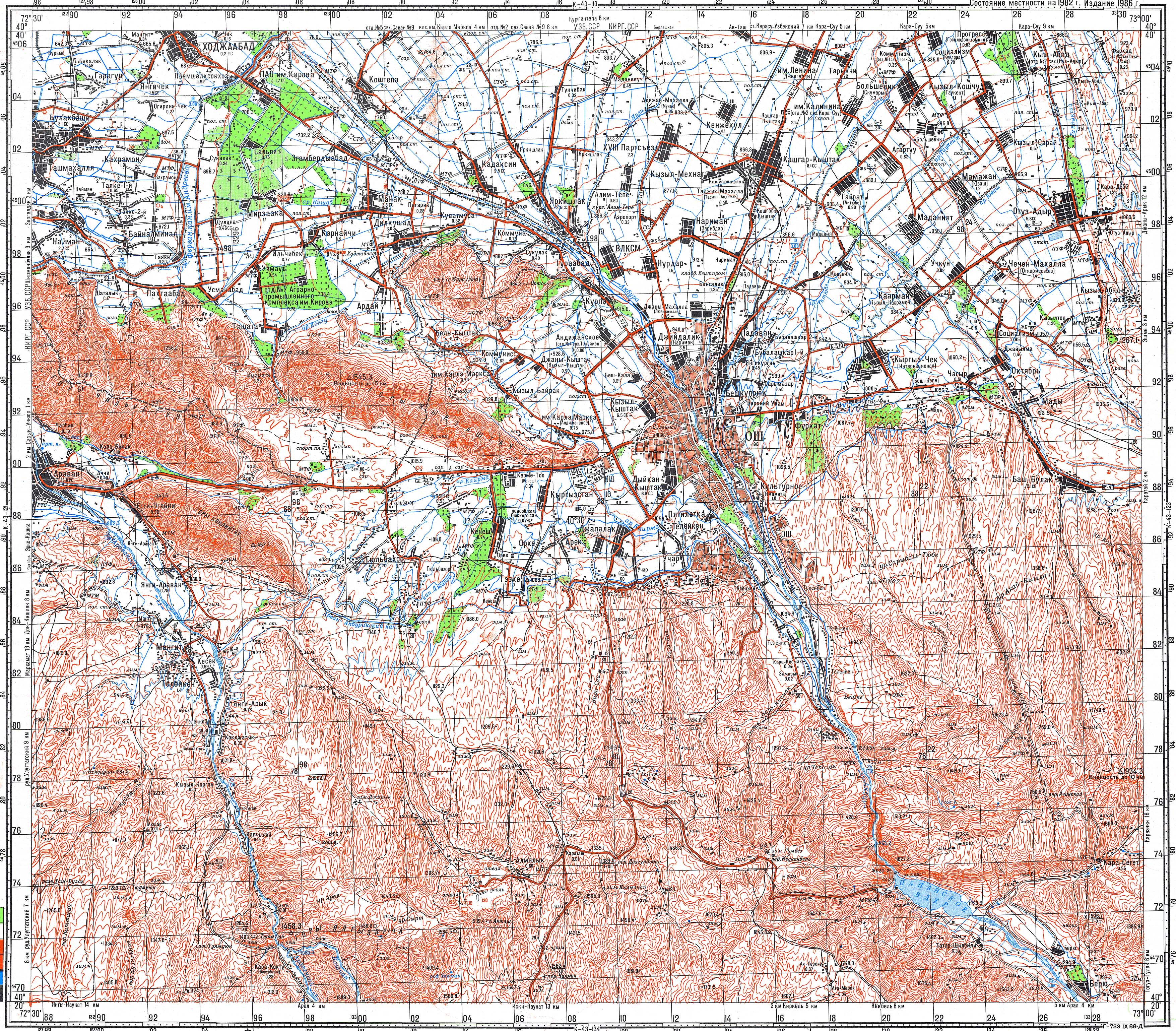
Töömoyun (Kyrgyz: Төөмоюн, Russian: Туя-Муюн, romanized: Tuya-Moyun) is a mountain in the western part of the Osh Region of Kyrgyzstan. Situated near the left bank of the river Aravansay, its elevation is 1,403 m (4,603 ft).[1] It is near the village Kara-Koktu, between Nookat and Aravan. There are several karst caves on the slopes of the mountain, including Ajydaar-Üngkür,[2] the Baryte Cave[3] and the Fersman Cave.[4]
References
[edit]- ^ Soviet military map K-43-122 (1:100,000)
- ^ "Ажыдаар үңкүр" [Ajydaar-Üngkür] (PDF). Кыргызстандын Географиясы [Geography of Kyrgyzstan] (in Kyrgyz). Bishkek. 2004. p. 317.
{{cite encyclopedia}}: CS1 maint: location missing publisher (link) - ^ "Бариттүү үңкүр" [Baryte cave] (PDF). Кыргызстандын Географиясы [Geography of Kyrgyzstan] (in Kyrgyz). Bishkek. 2004. p. 317.
{{cite encyclopedia}}: CS1 maint: location missing publisher (link) - ^ "Ферсман үңкүрү" [Fersman cave] (PDF). Кыргызстандын Географиясы [Geography of Kyrgyzstan] (in Kyrgyz). Bishkek. 2004. pp. 318–319.
{{cite encyclopedia}}: CS1 maint: location missing publisher (link)
This Osh Region location article is a stub. You can help Wikipedia by expanding it. |