Travianske Reservoir
Appearance
| Travianske Reservoir | |
|---|---|
 Panoramic view of the reservoir | |
| Location | |
| Coordinates | 50°16′00″N 36°22′00″E / 50.26667°N 36.36667°E |
| Type | Reservoir |
| Primary inflows | Kharkiv River |
| Primary outflows | Kharkiv River |
| Basin countries | |
| Max. length | 6.5 km (4.0 mi) |
| Max. width | 1.1 km (0.68 mi) |
| Surface area | 5.92 km2 (2.29 sq mi) |
| Average depth | 3.75 m (12.3 ft) |
| Water volume | 22.2 km3 (5.3 cu mi) |
 | |
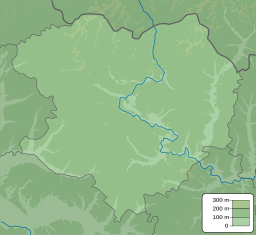
The Travianske Reservoir (Ukrainian: Трав'янське водосховище) is a reservoir in eastern Ukraine along the Kharkiv River, and is about 6.5 kilometres (4.0 mi) long.
History
[edit]The reservoir was first built in 1972, to provide freshwater to the nearby city of Kharkiv.
In 2024, during the Kharkiv offensive of the Russo-Ukrainian war, there were fighting reported in some areas around the reservoir.[1] On July 8, a local resident in the nearby village of Lyptsi was wounded as a result of a drone explosion.[2]
Flora and Fauna
[edit]Some species that can be spotted in the reservoir include: mute swan, mallard, great crested grebe, Eurasian collared-dove, and common cuckoo.[3]
References
[edit]- ^ "На півночі Харківщини бойові дії охопили вже восьме село: звідти вихід на Трав'янське водосховище" (in Ukrainian). May 11, 2024.
- ^ "Man wounded in Kharkiv region as result of Russian drone attack". Ukrinform. July 8, 2024.
- ^ "Трав'янське водосховище (Trav'yans'ke reservoir)". eBird.

