Vernéřovice
Appearance
Vernéřovice | |
|---|---|
Village | |
| Coordinates: 50°37′N 16°13′E / 50.617°N 16.217°E | |
| Country | |
| Region | Hradec Králové Region |
| District | Náchod District |
| Government | |
| • mayor | Tomáš Havrlant |
| Time zone | UTC+1 (CET) |
| • Summer (DST) | UTC+2 (CEST) |
| Website | http://www.vernerovice.cz/ |
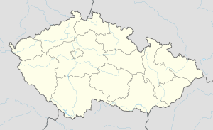
Vernéřovice (German: Deutsch Wernersdorf) is a village in the Náchod District of the Hradec Králové Region, Czech Republic. The settlement dates to the 13th century, the first documentary mention dating to 1351, when it was known as Wernhirsdorf. The village stretches for about 2 km east to west along the road to Meziměstí, about 2 km south of the Czech-Polish border. The nearest town is Broumov, about 6 km to the south-east.
External links
Wikimedia Commons has media related to Vernéřovice.


