
File:EnglandEastSussex.svg

Size of this PNG preview of this SVG file: 200 × 247 pixels. Other resolutions: 194 × 240 pixels | 389 × 480 pixels | 622 × 768 pixels | 829 × 1,024 pixels | 1,658 × 2,048 pixels.
Original file (SVG file, nominally 200 × 247 pixels, file size: 232 KB)
| This is a file from the Wikimedia Commons. Information from its description page there is shown below. Commons is a freely licensed media file repository. You can help. |
Summary
| Description |
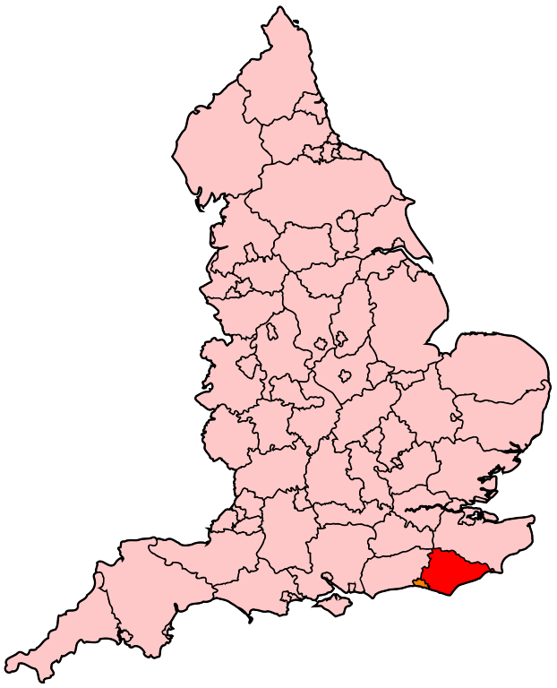
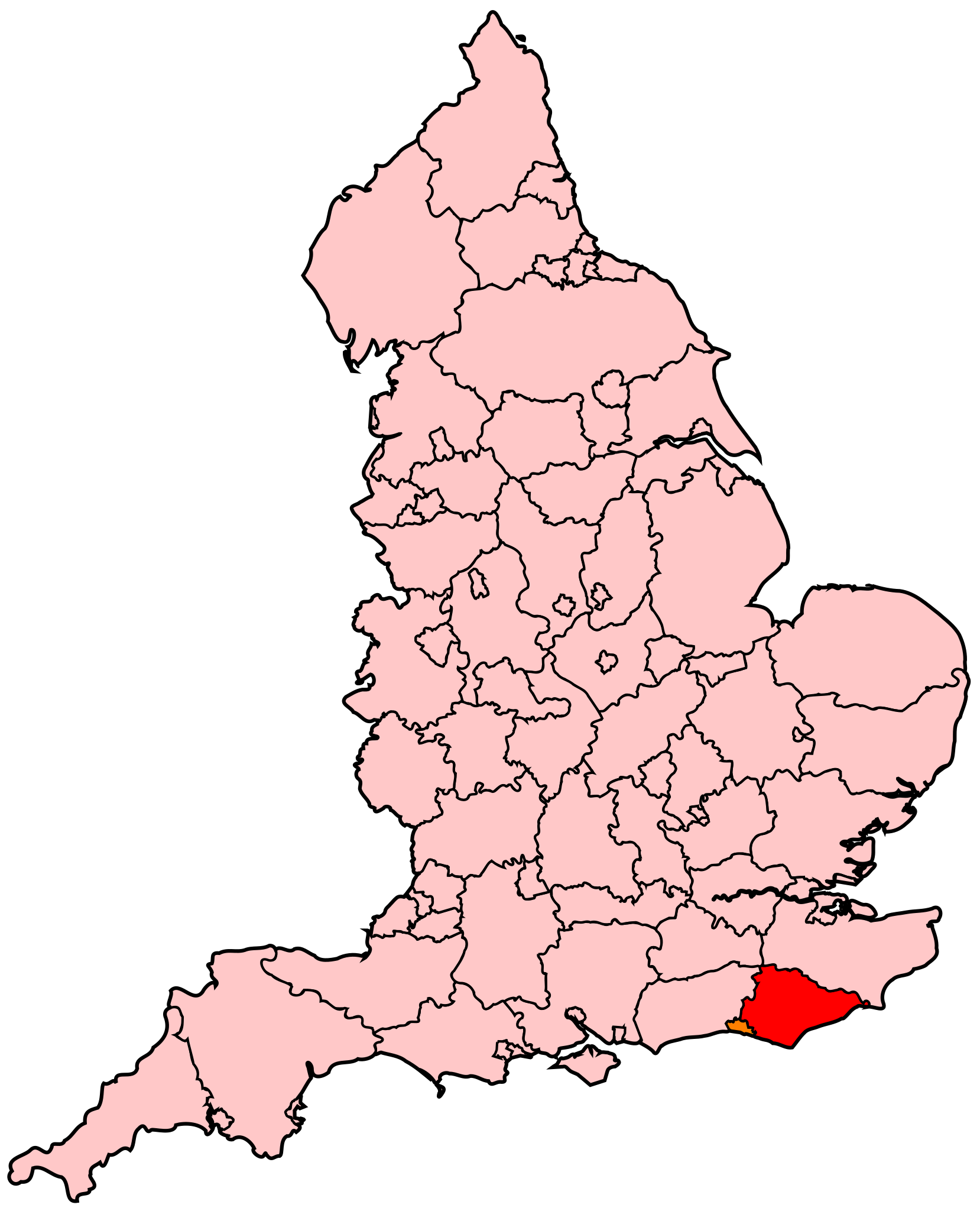
English: Map of East Sussex within England. |
| Source | Own work |
| Author | Wereon |
Licensing
| I, the copyright holder of this work, release this work into the public domain. This applies worldwide. In some countries this may not be legally possible; if so: I grant anyone the right to use this work for any purpose, without any conditions, unless such conditions are required by law. |
File history
Click on a date/time to view the file as it appeared at that time.
| Date/Time | Thumbnail | Dimensions | User | Comment | |
|---|---|---|---|---|---|
| current | 20:47, 22 April 2007 | | 200 × 247 (232 KB) | Wereon | Map of East Sussex within England. Category:Maps of counties of England |
File usage
The following pages on the English Wikipedia use this file (pages on other projects are not listed):
Global file usage
The following other wikis use this file:
- Usage on fr.wikipedia.org
- Bexhill and Battle (circonscription du Parlement britannique)
- Brighton Kemptown (circonscription du Parlement britannique)
- Hastings and Rye (circonscription du Parlement britannique)
- Hove (circonscription du Parlement britannique)
- Brighton Pavilion (circonscription du Parlement britannique)
- Eastbourne (circonscription du Parlement britannique)
- Lewes (circonscription du Parlement britannique)
- Liste des circonscriptions parlementaires du Sud-Est (région)
- Usage on pl.wikipedia.org
- Usage on simple.wikipedia.org