
Hurricane Greta–Olivia: Difference between revisions
ClueBot NG (talk | contribs) m Reverting possible vandalism by 203.144.90.69 to version by AnomieBOT. False positive? Report it. Thanks, ClueBot NG. (0) (Bot) |
rewrite MH (can someone help fix the ref for HRD to get the section/chapter to show up?) |
||
| Line 19: | Line 19: | ||
==Meteorological history== |
==Meteorological history== |
||
{{storm path|Greta-Olivia 1978 track.png}} |
{{storm path|Greta-Olivia 1978 track.png}} |
||
A tropical wave exited the coast of [[Africa]] near [[Dakar, Senegal]] on September |
A [[tropical wave]] exited the west coast of [[Africa]] near [[Dakar, Senegal]] on September 7. Moving westward across the Atlantic Ocean, the wave spawned an area of [[convection (meteorology)|convection]] three days later, which gradually organized. On September 13, the wave moved through the [[Windward Islands]], producing wind gusts of 50 mph (85 km/h) on [[Barbados]]. Later that day, it is estimated the system developed into a tropical depression about {{convert|75|mi|km|abbr=on}} west-northwest of [[Trinidad]], based on ship and land reports. Though located in a climatologically unfavorable area, the depression intensified and continued to develop. A [[Hurricane Hunters]] flight on September 14 indicated that the depression intensified into Tropical Storm Greta to the north of the [[Netherlands Antilles]].<ref name="tcr1">{{cite report|title=Hurricane Greta and Hurricane Olivia Preliminary Report|page=1|publisher=National Hurricane Center|accessdate=2013-12-17|url=http://www.nhc.noaa.gov/archive/storm_wallets/cdmp/dvd0077-jpg/1978/atlantic/greta/prenhc/prelim_greta_13-23.01.jpg|format=JPG}}</ref> |
||
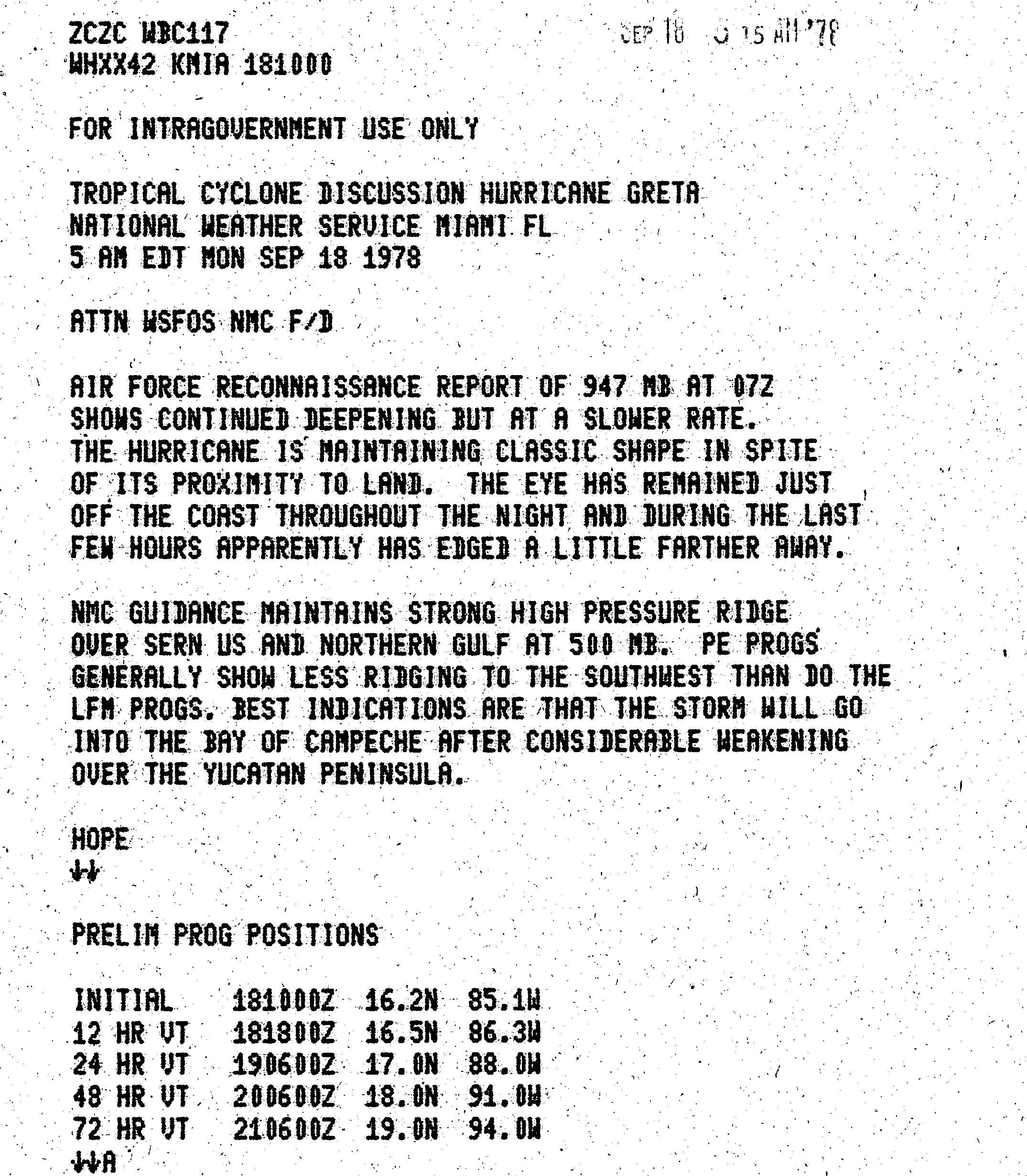
After becoming a tropical storm, Greta intensified slowly due to a strong [[trough (meteorology)|trough]] to the northwest,<ref name="tcr1"/> and [[Inflow (meteorology)|inflow]] to the south was disrupted by the South American coastline.<ref>{{cite report|author=John Hope|date=1978-09-14|title=Tropical Cyclone Discussion Tropical Storm Greta|publisher=National Hurricane Center|accessdate=3013-12-20|url=http://www.nhc.noaa.gov/archive/storm_wallets/cdmp/dvd0077-jpg/1978/atlantic/greta/tropdisc/tcd1421z.jpg|format=JPG}}</ref> With a [[ridge (meteorology)|ridge]] to the north along the [[30th parallel north|30th parellel]], the storm moved quickly west-northwestward across the Caribbean.<ref>{{cite report|author=Paul Hebert|date=1978-09-15|title=Tropical Cyclone Discussion Tropical Storm Greta|publisher=National Hurricane Center|accessdate=3013-12-20|url=http://www.nhc.noaa.gov/archive/storm_wallets/cdmp/dvd0077-jpg/1978/atlantic/greta/tropdisc/tcd1509z.jpg|format=JPG}}</ref> On September 16, Greta intensified into a hurricane about {{convert|275|mi|km|abbr=on}} south of Jamaica.<ref name="tcr1"/> Shortly thereafter, the trough to the northwest weakened, which had been preventing the storm's intensification.<ref name="tcr1"/> An increasingly well-defined [[eye (cyclone)|eye]] developed as the [[atmospheric pressure|barometric pressure]] quickly dropped while approaching the coast of Honduras. Early on September 18, the eyewall passed just offshore [[Cabo Gracias a Dios]], which is the border between Honduras and Nicaragua. The NHC described the eye as having "literally ricocheted off of the protruding northeast coast of Honduras", thus sparing much of the country from the strongest winds. At 0710 [[Coordinated Universal Time|UTC]] on September 18, the Hurricane hunters observed a minimum pressure of {{convert|947|mbar|inHg|abbr=on}} just off the northern Honduras coast, which was the basis for the estimated peak intensity of 130 mph (215 km/h).<ref name="tcr2">{{cite report|title=Hurricane Greta and Hurricane Olivia Preliminary Report|page=2|publisher=National Hurricane Center|accessdate=2013-12-20|url=http://www.nhc.noaa.gov/archive/storm_wallets/cdmp/dvd0077-jpg/1978/atlantic/greta/prenhc/prelim_greta_13-23.02.jpg|format=JPG}}</ref> This made it a [[List of Category 4 Atlantic hurricanes|Category 4]] hurricane on the [[Saffir-Simpson Hurricane Wind Scale]].<ref name="hurdat"/> |
|||
A strong trough ahead of Greta prevented significant strengthening as it moved westward across the [[Caribbean Sea]]. However, warm water temperatures allowed it to steadily intensify to reach hurricane status on September 16 while south of [[Jamaica]]. The trough weakened considerably on the 17th, and enabled Greta to quickly intensify as it approached the [[Honduras]] coastline. The unique topography of the coastline allowed for Greta to reach peak winds of 130 mph near land. |
|||
[[File:Olivia Sept 22 1978 0000Z.png|right|thumb|Satellite image of Hurricane Olivia in the eastern Pacific]] |
|||
Hurricane Greta made its Honduras landfall on September 18 at Category 4 status. Rather than continuing westward, the center ricocheted off the coast, and spared the Honduran mainland from its eyewall. Moving west-northwestward through the [[Gulf of Honduras]], land interaction weakened the hurricane. On September 19, Hurricane Greta made landfall on the [[Stann Creek District]] in southern [[Belize]], and weakened rapidly to a tropical depression over land. A high pressure system to its north forced it to the southwest, where, upon reaching the Eastern Pacific, its circulation remained intact. |
|||
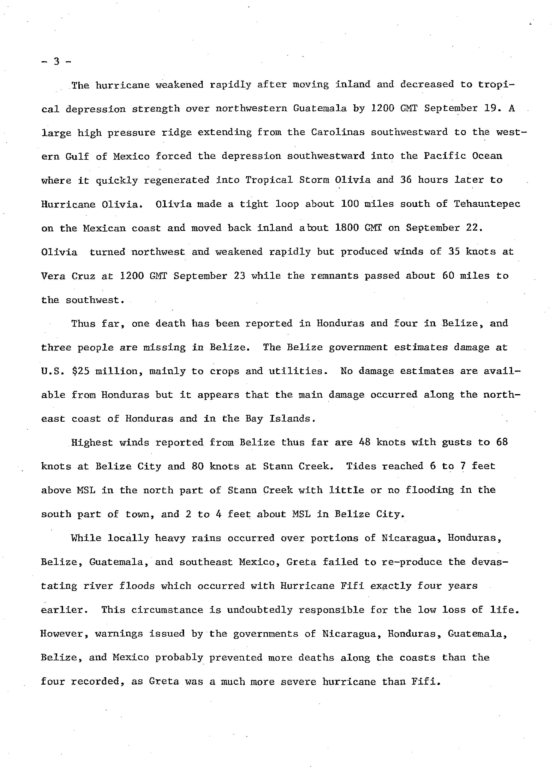
Despite the proximity to land, Greta initially maintained a well-defined structure. The hurricane continued generally west-northwestward due to the ridge to the north, and initially was expected to enter the [[Bay of Campeche]].<ref>{{cite report|author=John Hope|date=1978-09-20|title=Tropical Cyclone Discussion Hurricane Greta|publisher=National Hurricane Center|accessdate=3013-12-20|url=http://www.nhc.noaa.gov/archive/storm_wallets/cdmp/dvd0077-jpg/1978/atlantic/greta/tropdisc/tcd1810z.jpg|format=JPG}}</ref> Greta weakened slightly while approaching Belize, and made [[landfall (meteorology)|landfall]] near [[Stann Creek District|Stann Creek]] at 0000 UTC on September 19,<ref name="tcr2"/> with winds of about 110 mph (175 km/h).<ref name="hurdat">{{cite report|author=National Hurricane Center|title=Atlantic hurricane best track (HURDAT version 2)|url=http://www.nhc.noaa.gov/data/hurdat/hurdat2-atlantic-1851-2012-060513.txt|format=TXT|publisher=National Oceanic and Atmospheric Administration|date=2013-06-18|accessdate=2013-12-20}}</ref> Rapidly weakening over land, the hurricane deteriorated to tropical depression status over Guatemala within 12 hours of landfall. A large high pressure area from the Carolinas to the central Gulf of Mexico turned Greta southwestward toward the eastern Pacific Ocean.<ref name="tcr3">{{cite report|title=Hurricane Greta and Hurricane Olivia Preliminary Report|page=3|publisher=National Hurricane Center|accessdate=2013-12-20|url=http://www.nhc.noaa.gov/archive/storm_wallets/cdmp/dvd0077-jpg/1978/atlantic/greta/prenhc/prelim_greta_13-23.03.jpg|format=JPG}}</ref> At 0000 UTC on September 20, the [[Eastern Pacific Hurricane Center]] (EPHC) took over responsibility for issuing advisories while Greta was {{convert|30|mi|km|abbr=on}} from the coast. Soon after, the depression emerged over the warm waters of the eastern Pacific and re-intensified. At 0600 UTC, the depression re-attained tropical storm status and was named Olivia by the EPHC, due to the storm entering the [[Pacific hurricane|Pacific basin]]. After initially moving to the north, Olivia turned to a southward drift while executing a counterclockwise loop. Based on observations from nearby ships and radar, it is estimated Olivia attained hurricane status early on September 22. That day, while approaching the Mexican coast, the hurricane weakened to tropical storm status, and between 1900 and 2000 UTC Olivia made landfall about 60 mi (95 km) east of [[Salina Cruz]]. Early on September 23, Olivia dissipated over the Mexican state of [[Chiapas]].<ref>{{cite journal|journal=Monthly Weather Review|author=Emil B. Gunther, Eastern Pacific Hurricane Center|date=July 1979|title=Eastern North Pacific Tropical Cyclones of 1978|publisher=American Meteorological Society|pages=925-926|accessdate=2013-12-20|url=http://journals.ametsoc.org/doi/pdf/10.1175/1520-0493(1979)107%3C0911%3AENPTCO%3E2.0.CO%3B2|format=PDF}}</ref> |
|||
Hurricane Greta–Olivia was a rare [[List of Atlantic–Pacific crossover hurricanes|crossover]] storm from the Atlantic to the Pacific, one of six to maintain tropical cyclone status during the crossing.<ref>{{cite report|author=Stephen Caparotta, et al.|title=Frequently Asked Questions|chapter=Subject: E15) What tropical storms and hurricanes have moved from the Atlantic to the Northeast Pacific or vice versa?|publisher=Hurricane Research Division|date=2011-05-31|accessdate=2013-12-20|url=http://www.aoml.noaa.gov/hrd/tcfaq/E15.html}}</ref> |
|||
The depression moved into the Eastern Pacific from the [[Chiapas]] province of southeast [[Mexico]]. It moved to the southwest, and was renamed Tropical Storm Olivia on September 20. It remained nearly stationary, and slowly looped back to the north. Olivia reached hurricane status on the 22nd, but weakened just offshore of Mexico to a tropical storm. The storm turned to the northeast, and hit [[Oaxaca]] late on the 22nd, and dissipated the next day over land.{{fact|date=September 2013}} |
|||
==Comparisons to other storms== |
|||
Based on its strength and westward track through the western Caribbean Sea, Greta was feared to repeat the devastating effects of [[Hurricane Fifi]] in [[1974 Atlantic hurricane season|1974]]. However, Greta failed to produce the devastating river floods. In addition, because Greta was a compact storm that remained offshore, damage was reduced to a minimum.{{fact|date=September 2013}} |
|||
Hurricane Greta was a rare Atlantic Ocean to Eastern Pacific cross-over storm. It was one of only six known storms to move from the Atlantic to the Pacific.{{fact|date=September 2013}} |
|||
==Impact== |
==Impact== |
||
[[File:Hurricane Greta 1978.jpg|right|thumb|Image of Hurricane Greta north of Honduras]] |
|||
While passing through the [[Lesser Antilles]] and the islands of the southeast Caribbean, they received some moderate rainfall, but much of the convection was located to the north. |
|||
Early in its duration, Greta produced heavy rainfall in the Netherlands Antilles, but the strongest winds remained north of the island.<ref name="tcr1"/> |
|||
In Honduras, meteorologists estimated that upwards of {{convert|15|in|mm|abbr=on}} of rain fell in mountainous regions, likely triggering flash flooding and landslides. Initial press reports following Greta's passage stated that hundreds of poorly constructed huts along the coastline were destroyed. Many villages were isolated and communication with them was severely hampered.<ref>{{cite news|author=Associated Press|work=Spokane Daily Chronicle|page=40|date=September 18, 1978|accessdate=April 26, 2010|title=Greta Downgraded to Tropical Storm|url=http://news.google.com/newspapers?id=s6kSAAAAIBAJ&sjid=GPkDAAAAIBAJ&dq=hurricane%20greta&pg=6862%2C563643}}</ref> In Puerto Lempira, roughly 1,500 of the town's 7,000 residents sought refuge in five large structures during the storm.<ref>{{cite news|author=Associated Press|work=Toledo Blade|date=September 17, 1978|accessdate=April 28, 2010|title=Winds, Rain Pound Honduras As Greta Hits Coast|url=http://news.google.com/newspapers?id=cwoVAAAAIBAJ&sjid=fwIEAAAAIBAJ&dq=hurricane%20greta%20damage&pg=5568%2C4770580}}</ref> Throughout twelve communities along the coastline, military officials reported that 656 homes were destroyed, of which 278 were in Punta Potuca.<ref>{{cite news|author=Associated Press|work=Eugene Register-Guard|date=September 19, 1978|accessdate=April 28, 2010|title=Hurricane Greta subsides after lashing two nations|url=http://news.google.com/newspapers?id=c0kVAAAAIBAJ&sjid=CuIDAAAAIBAJ&dq=hurricane%20greta%20damage&pg=6630%2C5436050}}</ref> |
In Honduras, meteorologists estimated that upwards of {{convert|15|in|mm|abbr=on}} of rain fell in mountainous regions, likely triggering flash flooding and landslides. Initial press reports following Greta's passage stated that hundreds of poorly constructed huts along the coastline were destroyed. Many villages were isolated and communication with them was severely hampered.<ref>{{cite news|author=Associated Press|work=Spokane Daily Chronicle|page=40|date=September 18, 1978|accessdate=April 26, 2010|title=Greta Downgraded to Tropical Storm|url=http://news.google.com/newspapers?id=s6kSAAAAIBAJ&sjid=GPkDAAAAIBAJ&dq=hurricane%20greta&pg=6862%2C563643}}</ref> In Puerto Lempira, roughly 1,500 of the town's 7,000 residents sought refuge in five large structures during the storm.<ref>{{cite news|author=Associated Press|work=Toledo Blade|date=September 17, 1978|accessdate=April 28, 2010|title=Winds, Rain Pound Honduras As Greta Hits Coast|url=http://news.google.com/newspapers?id=cwoVAAAAIBAJ&sjid=fwIEAAAAIBAJ&dq=hurricane%20greta%20damage&pg=5568%2C4770580}}</ref> Throughout twelve communities along the coastline, military officials reported that 656 homes were destroyed, of which 278 were in Punta Potuca.<ref>{{cite news|author=Associated Press|work=Eugene Register-Guard|date=September 19, 1978|accessdate=April 28, 2010|title=Hurricane Greta subsides after lashing two nations|url=http://news.google.com/newspapers?id=c0kVAAAAIBAJ&sjid=CuIDAAAAIBAJ&dq=hurricane%20greta%20damage&pg=6630%2C5436050}}</ref> |
||
| Line 41: | Line 38: | ||
Damage estimates for Mexico from Olivia is unknown.{{fact|date=September 2013}} |
Damage estimates for Mexico from Olivia is unknown.{{fact|date=September 2013}} |
||
Although the National Hurricane Center does not consider it retired,<ref>http://www.nhc.noaa.gov/retirednames.shtml</ref> the [[World Meteorological Organization]] |
Although the National Hurricane Center does not consider it retired,<ref>{{cite report|date=2013-04-11|title=Tropical Cyclone Naming History and Retired Names|accessdate=2013-12-20|publisher=National Hurricane Center|url=http://www.nhc.noaa.gov/retirednames.shtml}}</ref> the [[World Meteorological Organization]] lists Greta as under its [[List of retired Atlantic hurricane names|retired hurricane name list]].<ref>{{cite report|title=Regional Association IV: Hurricane Operational Plan 2013|date=2013-05-30|pages=98–99|url=http://www.wmo.int/pages/prog/www/tcp/documents/OPERATIONALPLAN2013_en.pdf|author=RA IV Hurricane Committee|publisher=World Meteorological Organization|chapter=Chapter 9: Tropical Cyclone Names|accessdate=2013-12-20}}</ref> |
||
==See also== |
==See also== |
||
| Line 48: | Line 45: | ||
* [[Tropical Storm Olivia (disambiguation)|Other storms named Olivia]] |
* [[Tropical Storm Olivia (disambiguation)|Other storms named Olivia]] |
||
* [[List of Atlantic–Pacific crossover hurricanes]] |
* [[List of Atlantic–Pacific crossover hurricanes]] |
||
* [[Hurricane Edith (1971)]] - another hurricane that rapidly intensified while approaching Cape Gracias a Dios |
|||
* [[Hurricane Fifi-Orlene]] - hurricane in 1974 that caused catastrophic flooding in Honduras, before crossing into the Pacific and regenerating into a hurricane |
|||
==References== |
==References== |
||
{{Reflist}} |
{{Reflist}} |
||
* [ftp://ftp.nhc.noaa.gov/pub/storm_archives/atlantic/prelimat/atl1978/greta/ NHC Greta report] |
|||
* [http://www.aoml.noaa.gov/hrd/tcfaq/E15.html Atlantic/Pacific cross-over Storms] |
|||
* [http://www.weather.unisys.com/hurricane/atlantic/1978/GRETA/track.dat Greta Best Track] |
|||
* [http://www.weather.unisys.com/hurricane/e_pacific/1978/OLIVIA/track.dat Olivia Best Track] |
|||
{{Retired Atlantic hurricanes}} |
{{Retired Atlantic hurricanes}} |
||
Revision as of 19:30, 20 December 2013
| Category 4 major hurricane (SSHWS/NWS) | |
 Hurricane Greta in the Gulf of Honduras | |
| Formed | September 13, 1978 |
|---|---|
| Dissipated | September 23, 1978 |
| Highest winds | 1-minute sustained: 130 mph (215 km/h) |
| Lowest pressure | 947 mbar (hPa); 27.96 inHg |
| Fatalities | 5 direct |
| Damage | $26 million (1978 USD) |
| Areas affected | Windward Islands, Trinidad and Tobago, Venezuela, Leeward Antilles, Colombia, Nicaragua, Honduras, Belize, Guatemala, Mexico |
| Part of the 1978 Atlantic hurricane season, 1978 Pacific hurricane season | |
Hurricane Greta–Olivia was a Category 4 hurricane that crossed over Central America, changing names upon reaching the Eastern Pacific during the 1978 Atlantic hurricane season and 1978 Pacific hurricane season. Striking Honduras on the fourth anniversary of Hurricane Fifi, Greta threatened to reproduce the devastating effects of the catastrophic storm; however damage and loss of life was significantly less than feared. Upon regaining tropical storm status in the eastern Pacific basin, Greta became one of the handful of tropical cyclones to achieve this feat and the first since Hurricane Fifi regenerated into Orlene in 1974.
Meteorological history

Tropical storm (39–73 mph, 63–118 km/h)
Category 1 (74–95 mph, 119–153 km/h)
Category 2 (96–110 mph, 154–177 km/h)
Category 3 (111–129 mph, 178–208 km/h)
Category 4 (130–156 mph, 209–251 km/h)
Category 5 (≥157 mph, ≥252 km/h)
Unknown
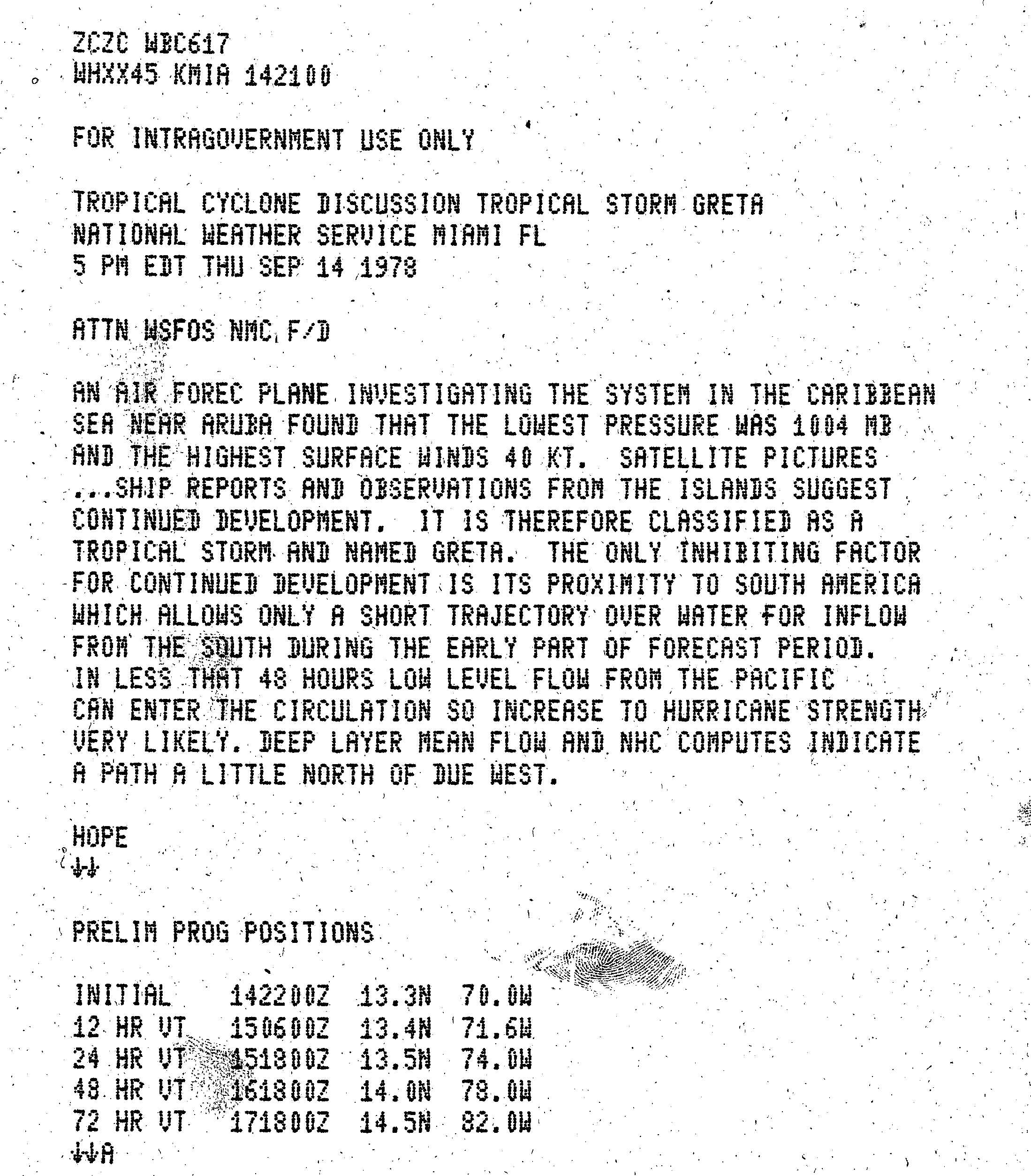
A tropical wave exited the west coast of Africa near Dakar, Senegal on September 7. Moving westward across the Atlantic Ocean, the wave spawned an area of convection three days later, which gradually organized. On September 13, the wave moved through the Windward Islands, producing wind gusts of 50 mph (85 km/h) on Barbados. Later that day, it is estimated the system developed into a tropical depression about 75 mi (121 km) west-northwest of Trinidad, based on ship and land reports. Though located in a climatologically unfavorable area, the depression intensified and continued to develop. A Hurricane Hunters flight on September 14 indicated that the depression intensified into Tropical Storm Greta to the north of the Netherlands Antilles.[1]
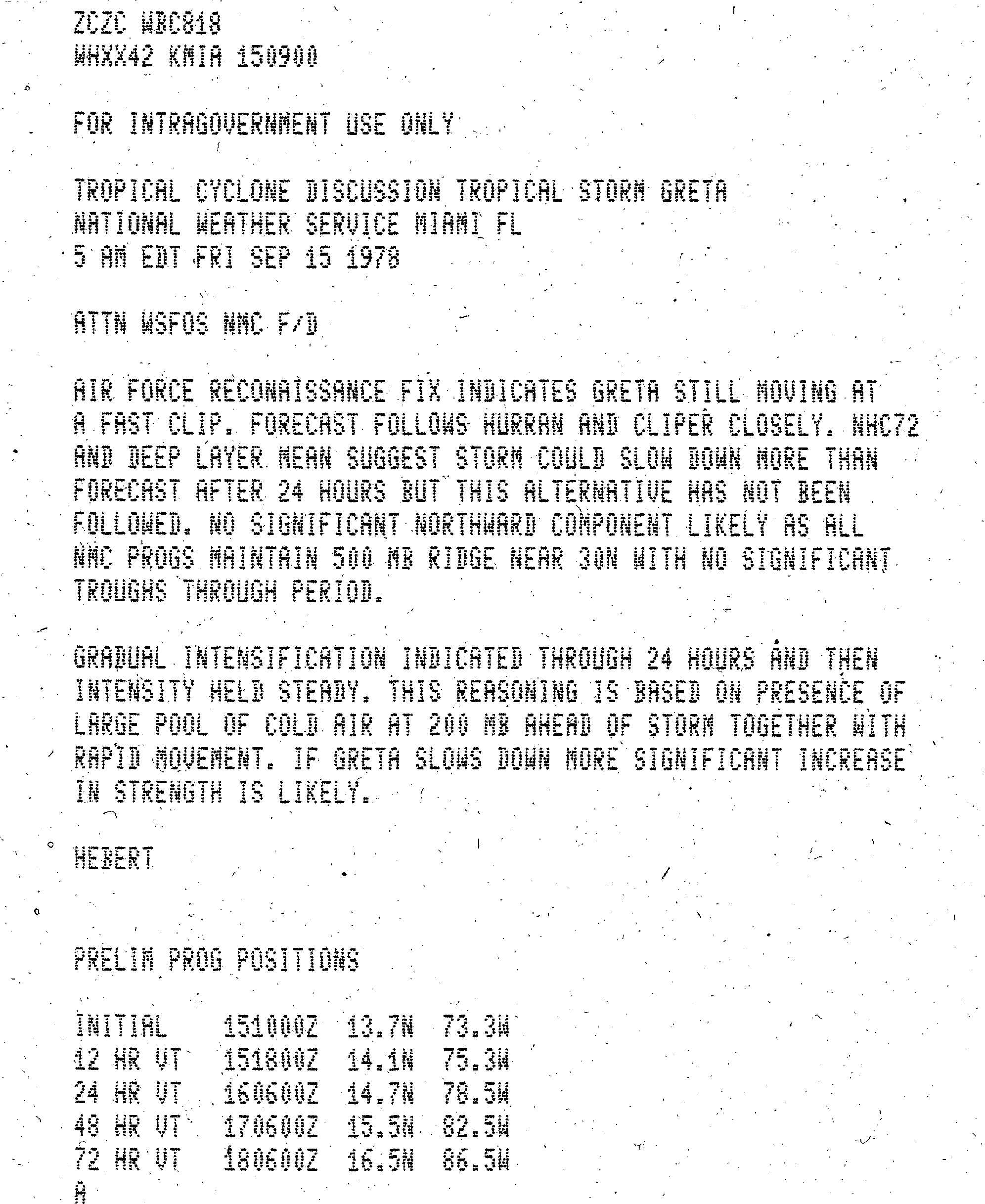
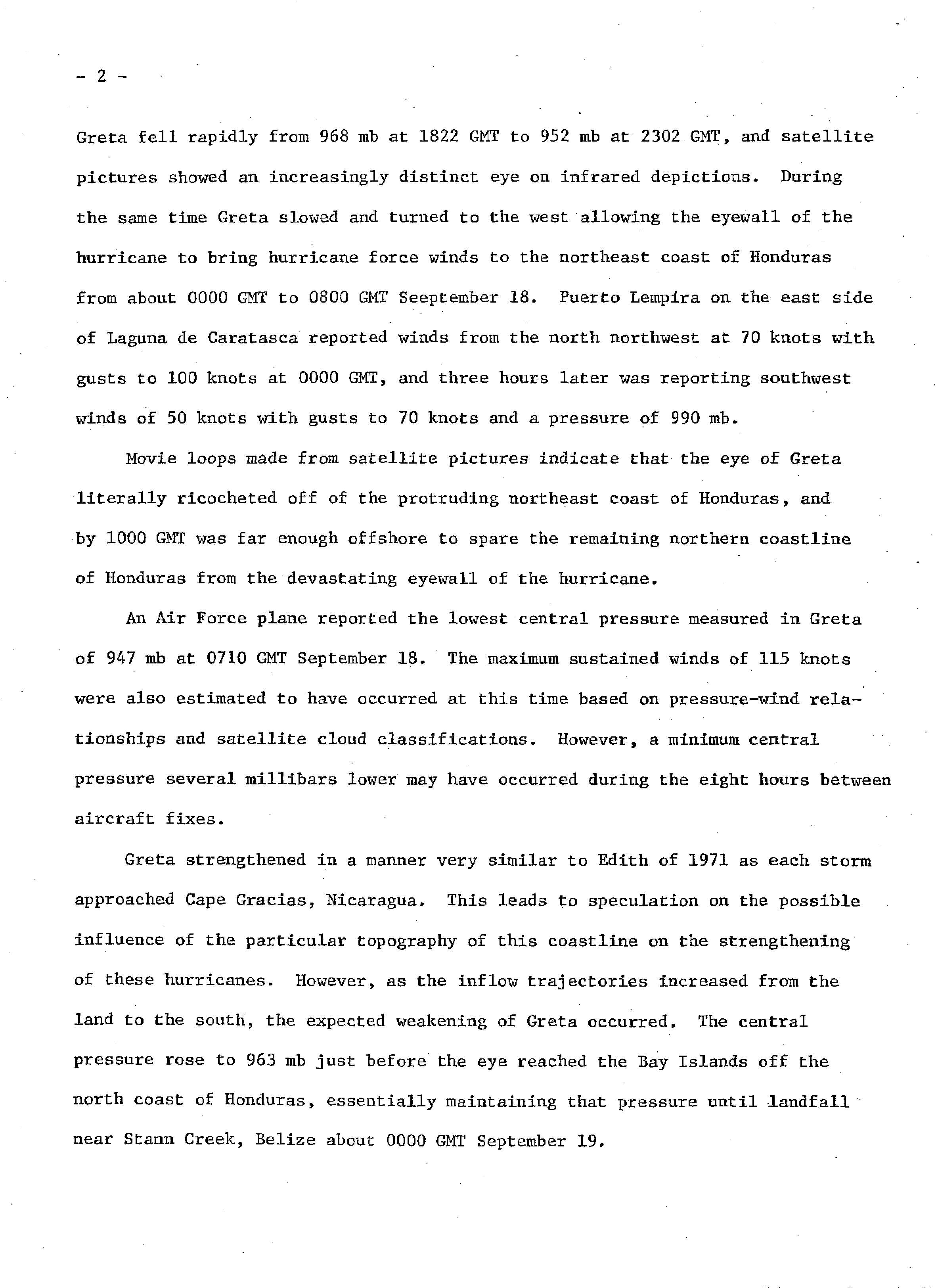
After becoming a tropical storm, Greta intensified slowly due to a strong trough to the northwest,[1] and inflow to the south was disrupted by the South American coastline.[2] With a ridge to the north along the 30th parellel, the storm moved quickly west-northwestward across the Caribbean.[3] On September 16, Greta intensified into a hurricane about 275 mi (443 km) south of Jamaica.[1] Shortly thereafter, the trough to the northwest weakened, which had been preventing the storm's intensification.[1] An increasingly well-defined eye developed as the barometric pressure quickly dropped while approaching the coast of Honduras. Early on September 18, the eyewall passed just offshore Cabo Gracias a Dios, which is the border between Honduras and Nicaragua. The NHC described the eye as having "literally ricocheted off of the protruding northeast coast of Honduras", thus sparing much of the country from the strongest winds. At 0710 UTC on September 18, the Hurricane hunters observed a minimum pressure of 947 mbar (28.0 inHg) just off the northern Honduras coast, which was the basis for the estimated peak intensity of 130 mph (215 km/h).[4] This made it a Category 4 hurricane on the Saffir-Simpson Hurricane Wind Scale.[5]

Despite the proximity to land, Greta initially maintained a well-defined structure. The hurricane continued generally west-northwestward due to the ridge to the north, and initially was expected to enter the Bay of Campeche.[6] Greta weakened slightly while approaching Belize, and made landfall near Stann Creek at 0000 UTC on September 19,[4] with winds of about 110 mph (175 km/h).[5] Rapidly weakening over land, the hurricane deteriorated to tropical depression status over Guatemala within 12 hours of landfall. A large high pressure area from the Carolinas to the central Gulf of Mexico turned Greta southwestward toward the eastern Pacific Ocean.[7] At 0000 UTC on September 20, the Eastern Pacific Hurricane Center (EPHC) took over responsibility for issuing advisories while Greta was 30 mi (48 km) from the coast. Soon after, the depression emerged over the warm waters of the eastern Pacific and re-intensified. At 0600 UTC, the depression re-attained tropical storm status and was named Olivia by the EPHC, due to the storm entering the Pacific basin. After initially moving to the north, Olivia turned to a southward drift while executing a counterclockwise loop. Based on observations from nearby ships and radar, it is estimated Olivia attained hurricane status early on September 22. That day, while approaching the Mexican coast, the hurricane weakened to tropical storm status, and between 1900 and 2000 UTC Olivia made landfall about 60 mi (95 km) east of Salina Cruz. Early on September 23, Olivia dissipated over the Mexican state of Chiapas.[8]
Hurricane Greta–Olivia was a rare crossover storm from the Atlantic to the Pacific, one of six to maintain tropical cyclone status during the crossing.[9]
Impact

Early in its duration, Greta produced heavy rainfall in the Netherlands Antilles, but the strongest winds remained north of the island.[1]
In Honduras, meteorologists estimated that upwards of 15 in (380 mm) of rain fell in mountainous regions, likely triggering flash flooding and landslides. Initial press reports following Greta's passage stated that hundreds of poorly constructed huts along the coastline were destroyed. Many villages were isolated and communication with them was severely hampered.[10] In Puerto Lempira, roughly 1,500 of the town's 7,000 residents sought refuge in five large structures during the storm.[11] Throughout twelve communities along the coastline, military officials reported that 656 homes were destroyed, of which 278 were in Punta Potuca.[12]
As said earlier, Greta did not produce the severe river flooding that Fifi caused. Minor flooding was observed in Honduras, and what little damage that occurred there was in the extreme northeast portion of the country. In Belize, tides were 6 feet above normal in some locations, with damage estimated at $25 million (1978 USD) due to the direct hit. Improved warnings by the governments of Honduras, Belize, and their neighbors reduced the death toll to five, with one person dead in Honduras and four casualties (with three missing) in Belize.[citation needed]
Damage estimates for Mexico from Olivia is unknown.[citation needed]
Although the National Hurricane Center does not consider it retired,[13] the World Meteorological Organization lists Greta as under its retired hurricane name list.[14]
See also
- Other storms named Greta
- Other storms named Olivia
- List of Atlantic–Pacific crossover hurricanes
- Hurricane Edith (1971) - another hurricane that rapidly intensified while approaching Cape Gracias a Dios
- Hurricane Fifi-Orlene - hurricane in 1974 that caused catastrophic flooding in Honduras, before crossing into the Pacific and regenerating into a hurricane
References
- ^ a b c d e Hurricane Greta and Hurricane Olivia Preliminary Report (JPG) (Report). National Hurricane Center. p. 1. Retrieved 2013-12-17.
- ^ John Hope (1978-09-14). Tropical Cyclone Discussion Tropical Storm Greta (JPG) (Report). National Hurricane Center. Retrieved 3013-12-20.
{{cite report}}: Check date values in:|accessdate=(help) - ^ Paul Hebert (1978-09-15). Tropical Cyclone Discussion Tropical Storm Greta (JPG) (Report). National Hurricane Center. Retrieved 3013-12-20.
{{cite report}}: Check date values in:|accessdate=(help) - ^ a b Hurricane Greta and Hurricane Olivia Preliminary Report (JPG) (Report). National Hurricane Center. p. 2. Retrieved 2013-12-20.
- ^ a b National Hurricane Center (2013-06-18). Atlantic hurricane best track (HURDAT version 2) (TXT) (Report). National Oceanic and Atmospheric Administration. Retrieved 2013-12-20.
- ^ John Hope (1978-09-20). Tropical Cyclone Discussion Hurricane Greta (JPG) (Report). National Hurricane Center. Retrieved 3013-12-20.
{{cite report}}: Check date values in:|accessdate=(help) - ^ Hurricane Greta and Hurricane Olivia Preliminary Report (JPG) (Report). National Hurricane Center. p. 3. Retrieved 2013-12-20.
- ^ Emil B. Gunther, Eastern Pacific Hurricane Center (July 1979). "Eastern North Pacific Tropical Cyclones of 1978" (PDF). Monthly Weather Review. American Meteorological Society: 925–926. Retrieved 2013-12-20.
- ^ Stephen Caparotta; et al. (2011-05-31). "Subject: E15) What tropical storms and hurricanes have moved from the Atlantic to the Northeast Pacific or vice versa?". Frequently Asked Questions (Report). Hurricane Research Division. Retrieved 2013-12-20.
{{cite report}}: Explicit use of et al. in:|author=(help) - ^ Associated Press (September 18, 1978). "Greta Downgraded to Tropical Storm". Spokane Daily Chronicle. p. 40. Retrieved April 26, 2010.
- ^ Associated Press (September 17, 1978). "Winds, Rain Pound Honduras As Greta Hits Coast". Toledo Blade. Retrieved April 28, 2010.
- ^ Associated Press (September 19, 1978). "Hurricane Greta subsides after lashing two nations". Eugene Register-Guard. Retrieved April 28, 2010.
- ^ Tropical Cyclone Naming History and Retired Names (Report). National Hurricane Center. 2013-04-11. Retrieved 2013-12-20.
- ^ RA IV Hurricane Committee (2013-05-30). "Chapter 9: Tropical Cyclone Names". Regional Association IV: Hurricane Operational Plan 2013 (PDF) (Report). World Meteorological Organization. pp. 98–99. Retrieved 2013-12-20.
| 1950s | |
|---|---|
| 1960s | |
| 1970s | |
| 1980s | |
| 1990s | |
| 2000s | |
| 2010s | |
| 2020s | |
Tropical cyclones of the 1978 Atlantic hurricane season | ||
|---|---|---|
 | ||
Tropical cyclones of the 1978 Pacific hurricane season | ||
|---|---|---|
 | ||
- 1978 Atlantic hurricane season
- Category 4 Atlantic hurricanes
- Hurricanes in Belize
- Hurricanes in Guatemala
- Hurricanes in Honduras
- Hurricanes in Nicaragua
- 1978 Pacific hurricane season
- Category 1 Pacific hurricanes
- Atlantic hurricanes in Mexico
- Pacific hurricanes in Mexico
- 1978 meteorology
- Retired Atlantic hurricanes