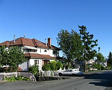
Willingdon Heights

Willingdon Heights is a neighbourhood in Burnaby, British Columbia, Canada. It is named after a major Burnaby thoroughfare Willingdon Avenue connecting North Burnaby with Kingsway and the Metrotown area in the south.

Location
Willingdon Heights is located between two major north-south roads - Boundary Road in the west and Willingdon Avenue in the east. Its northern border lies along busy Hastings Street while the equally busy Lougheed Highway marks its southern limits.
Shopping and transportation

Willingdon Heights is located close to Brentwood Mall, a popular shopping centre. Several big box stores (Staples, Office Depot) are located along the Lougheed Highway. A new Costco store was recently built east of Willingdon in the Still Creek industrial area.
Brentwood Station of the Millennium Line is nearby. A number of bus routes (#135, #123, #130, #27, #28) serve this area.
Parks
Willingdon Heights Park is the largest park in the area. It has a sports field and a community centre.
49°16′34″N 123°00′50″W / 49.276°N 123.014°W
