Pyu
Phyu
Phyuu | |
|---|---|
Town | |
 | |
| Coordinates: 18°28′55″N 96°26′13″E / 18.48194°N 96.43694°E | |
| Country | |
| Region | |
| District | Taungoo |
| Township | Phyu |
| Population (2010)[1] | 44,642 |
| Time zone | UTC+6.30 (MST) |
| Area code | 54 |
| [2] | |
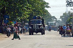
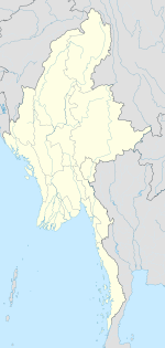
Pyu, also spelled Phyu or Phyuu,[3] is a town in Taungoo District, Bago Region in Myanmar. It is the administrative seat of Phyu Township.
References
- ^ "Myanmar: largest cities and towns and statistics of their population:calculation 2010". Archived from the original on 2012-09-19. World Gazetteer
- ^ "National Telephone Area Codes". Myanmar's Net.
- ^ "Phyu". GEOnet Names Server. United States National Geospatial-Intelligence Agency.
External links
- "Phyu Map — Satellite Images of Phyu" Maplandia


