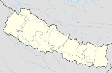
Gundu, Nepal
Appearance
Gundu
गुण्डु | |
|---|---|
Ward No. 7 of Suryabinayak Municipality | |
 | |
| Coordinates: 27°23′N 85°15′E / 27.39°N 85.25°E | |
| Country | |
| Zone | Bagmati Zone |
| District | Bhaktapur District |
| Municipality | Suryabinayak Municipality |
| Population (2011) | |
| • Total | 5,689 |
| • Religions | Hindu |
| Time zone | UTC+5:45 (Nepal Time) |
Gundu was Village Development Committee in Bhaktapur District in the Bagmati Zone of central Nepal.However, now it is a part of Suryabinayak Municipality. The whole Gundu VDC is now ward no. 7 of the Suryabinayak Municipality. Ward Chairperson of Gundu is Rabindra Sapkota. Rabindra Sapkota has won the local election held on Baisakh 31st 2074.He is representing CPN(UML). At the time of the 1991 Nepal census it had a population of 5,689 with 1,257 houses in it.[1]
References
- ^ "Archived copy" (PDF). Archived from the original (PDF) on 2013-09-27. Retrieved 2013-09-27.
{{cite web}}: CS1 maint: archived copy as title (link)


