Vidra Lake
Appearance
| Vidra Lake | |
|---|---|
 | |
| Location | Parâng mountains |
| Coordinates | 45°25′50″N 23°44′0″E / 45.43056°N 23.73333°E |
| Type | artificial lake |
| Primary inflows | Lotru River |
| Primary outflows | Lotru River |
| Basin countries | Romania |
| Max. length | 8 km (5.0 mi) |
| Max. width | 1.4 km (0.87 mi) |
| Surface area | 12.40 km2 (4.79 sq mi) |
| Water volume | 340 hm3 (280,000 acre⋅ft) |
| Surface elevation | 1,289 m (4,229 ft) |
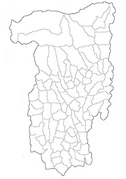
Vidra Lake is a storage reservoir, located in the Parâng Mountains group, on the Lotru River, in Vâlcea County, Romania.
It has an area of 12.40 km2 (4.79 sq mi) and a volume of 340×106 m3 (1.2×10¹⁰ cu ft).
Its associated hydroelectric plant Ciungetu, has a maximum power output of 510 MW, using an altitude difference of about 800 m (2,600 ft).
The dam and the hydro plant were built between 1965 and 1972. It is the second largest hydro plant in Romania, after the Iron Gates I and II power stations.

