
Aji Chay
| Aji Chay Talkheh-Roud | |
|---|---|
 Aji Chay bridge in northeast of Tabriz. | |
| Location | |
| Country | Iran |
| State | East Azerbaijan |
| Physical characteristics | |
| Source | |
| • location | East Azerbaijan, Iran |
| Length | 265 km (165 mi) |
| Discharge | |
| • location | Lake Urmia |
| • maximum | 40.6 m3/s (1,430 cu ft/s) |
| Basin features | |
| Tributaries | |
| • left | Vaneq River, Saidabad River, Quri Chay |
| • right | Komur River[1], Sian River |
Aji Chay[2] or Talkheh Rud (Azerbaijani: آجی چای Acıçay, Persian: تلخه رود Talkheh Rud, both meaning "bitter river"[3][4]) is a river in Azerbaijan region of Iran. Most of it is in the East Azerbaijan Province.
Its water is alkali due to passing from the lands with high mineralization. It is the largest river that discharges into Lake Urmia. It arises above Sarab from the slopes of Mount Bozgush and Mount Sabalan. Its tributary, the sweet water Quri Chay, joins the Aji just north-east of central Tabriz.
The Iranian government has a project under development to put the water to agricultural use by altering the watercourse of the Talkheh-Roud away from the alkali lands. As part of this project, the Madani dam is being constructed on the Talkheh-Roud on the north-east side of Eynali mountain, which lies to the north-east of Tabriz.
The historic Aji Chay Bridge over the river, on the old Tabriz road to Marand, is just outside Tabriz and east of the Tabriz International Airport.[5]
See also
Notes
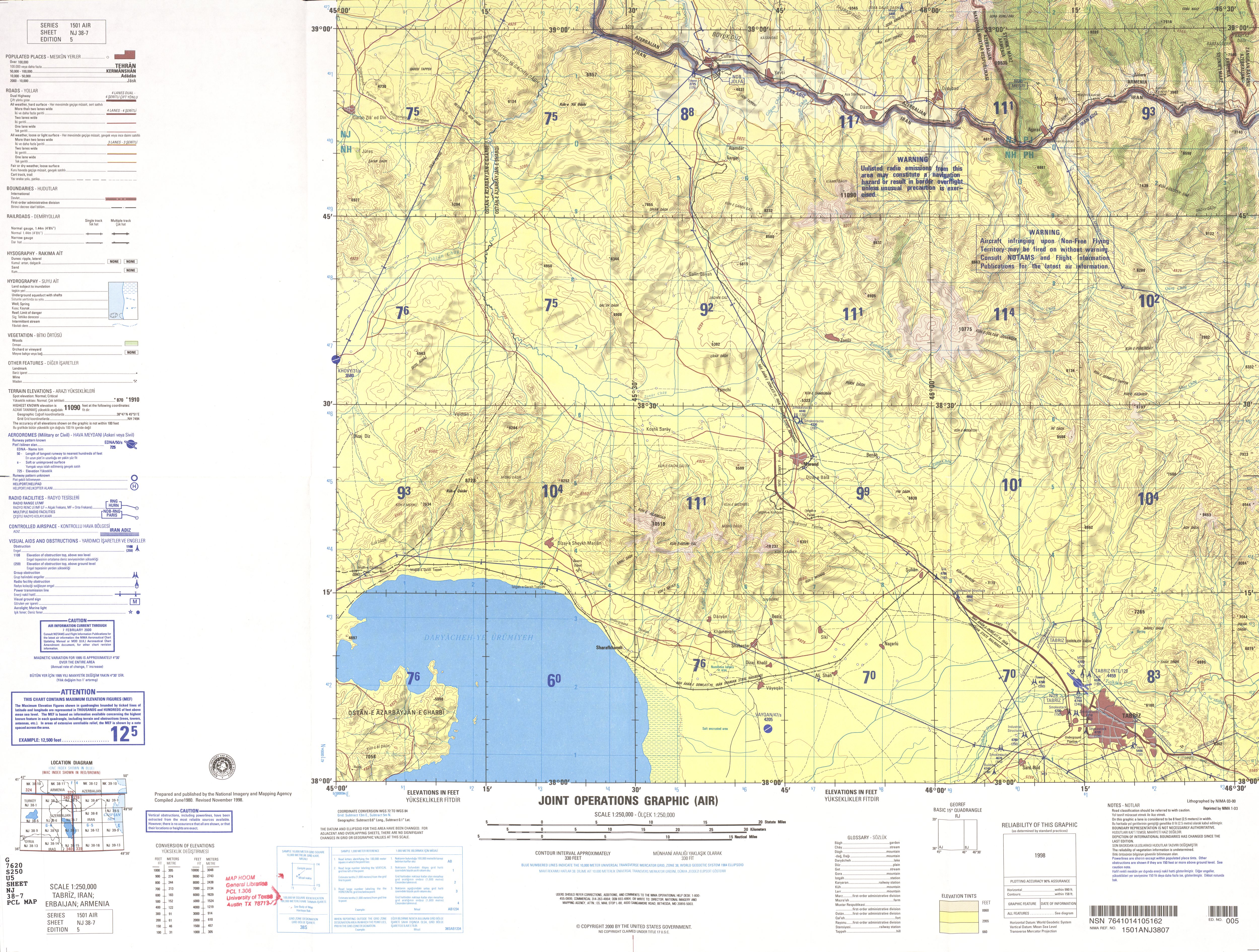
- ^ NJ 38-7 Tabriz, Iran; Azerbaijan; Armenia Archived 2016-03-03 at the Wayback Machine Iran, Series 1501, Joint Operations Graphic (Air) 1:250,000, U.S. National Imagery and Mapping Agency. The Komur enters the Aji Chay just north of Tabriz, and just before the Sian Chay enters the Aji Chay. Komūr Chāy (BGN Standard) at GEOnet Names Server
- ^ Ehlers, E. (July 29, 2011). "ĀJĪ ČĀY". Encyclopædia Iranica. Retrieved October 6, 2015.
- ^ www.sirang.com, Sirang Rasaneh. "Ajy Chay (Talkheh Rood) River 2019 : Tourist attraction in Tabriz, Travel to IRAN". itto.org | Iran Tourism & Touring. Retrieved 2019-06-05.
- ^ "Persian Gardens, Chahar Bagh, Pairidaeza, Baghs". www.heritageinstitute.com. Retrieved 2019-06-05.
- ^ "East Azerbaijan Tourism Organization, Talkheh-Roud Bridge (in Persian)". Archived from the original on 2011-07-22. Retrieved 2009-09-29.
| Lake Urmia basin | |
|---|---|
| Persian Gulf basin | |
| Oman sea basin | |
| Caspian basin | |
| Gavkhouni basin | |
| Namak Lake basin | |
| Hamun-e Jaz Murian basin | |
| Other | |
37°45′N 45°42′E / 37.750°N 45.700°E
This East Azarbaijan province location article is a stub. You can help Wikipedia by expanding it. |