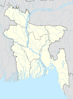
Adhara, Bangladesh
Appearance
Adhara, Bangladesh | |
|---|---|
| Coordinates: 23°23′N 90°47′E / 23.383°N 90.783°E | |
| Country | |
| Division | Chittagong Division |
| District | Chandpur District |
| Time zone | UTC+6 (Bangladesh Time) |
Adhara, Bangladesh is a village in Chandpur District in the Chittagong Division of eastern Bangladesh.[1]
See also
References
- ^ "NGA GeoNames Database". National Geospatial-Intelligence Agency. Retrieved 2008-07-14.

