Agios Symeon
Appearance
Agios Symeon
| |
|---|---|
| Coordinates: 35°29′29″N 34°13′04″E / 35.49139°N 34.21778°E | |
| Country | |
| • District | Famagusta District |
| Country (controlled by) | |
| • District | İskele District |
| Population (2011)[1] | |
| • Total | 119 |
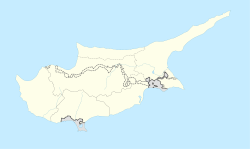
Agios Symeon (Greek: Άγιος Συμεών "Saint Simon"; Turkish: Avtepe “hill for hunt”, previously Aysinyo) is a village in Cyprus, located on the Karpas Peninsula. It is under the de facto control of Northern Cyprus. As of 2011, Agios Symeon had a population of 119. It has always been inhabited by Turkish Cypriots.[2]
References
- ^ "KKTC 2011 Nüfus ve Konut Sayımı" [TRNC 2011 Population and Housing Census] (PDF) (in Turkish). TRNC State Planning Organization. 6 August 2013. Archived from the original (PDF) on 6 November 2013.
{{cite web}}: Unknown parameter|deadurl=ignored (|url-status=suggested) (help) - ^ "AGIOS SYMEON". Internal Displacement in Cyprus. PRIO Cyprus Centre. Retrieved 17 January 2015.


