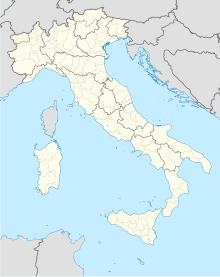
Alta Murgia National Park
Appearance
| Parco Nazionale dell'Alta Murgia | |
|---|---|
 A trullo in the National Park. | |
| Location | |
| Nearest city | Taranto |
| Coordinates | 40°59′24″N 16°22′12″E / 40.99000°N 16.37000°E |
| Area | 677.39 km2 (261.54 sq mi) |
| Established | 2004 |
| Governing body | Ministero dell'Ambiente |
| www | |
The Parco Nazionale dell'Alta Murgia is a national park in Apulia, southern Italy, established in 2004. It lies in the Murgia geographical area, with its headquarters in the town of Gravina in Puglia, and has an area of 677.39 square kilometres.
External links
- Pages by the Park Authority on Parks.it
- Documentary film about the Sassi di Matera and the Murgia, Roba Forestiera, 44 min., 2004
- Website containing many images of Alta Murgia National Park


