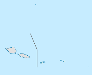
Aunuʻu, American Samoa
Aunu'u | |
|---|---|
Village & Island | |
 | |
| Coordinates: 14°17′2.7″S 170°33′37.5″W / 14.284083°S 170.560417°W | |
| Country | |
| Territory | |
| Area | |
| • Total | 1.517 km2 (0.5857 sq mi) |
| Population (2012) | |
| • Total | 443 |
| Designated | 1972 |
Aunu'u is a small volcanic island off the southeastern shore of Tutuila in American Samoa. It has a land area of 374.83 acres (0.59 sq mi; 1.52 km2) and a 2000 census population of 476 persons. Politically it is a part of the Eastern District, one of the primary divisions of American Samoa.
Faimulivai Marsh is a freshwater marsh in Aunu'u Crater and the largest such wetland in American Samoa. It was formed from drainage of the low-lying crater. It is part of a protected National Natural Landmark on Aunu'u which was designated in 1972. The Pacific black duck was seen in the marsh in 1976, but it may now be extinct in the region; another significant local bird is the purple swamphen. This marsh is the only place in American Samoa that has Chinese water chestnut.[1]
The main sources of economic activity for the Aunu’u people since the 1960s have been taro and production of faausi.[1]

