Beedles Station, Ohio

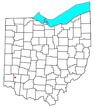
Beedles Station was the first settlement in what was to become Warren County, Ohio, United States. A blockhouse was established there in 1795 in what is now Section 28, Town 4, Range 3 of the Between the Miami Rivers Survey in western Turtlecreek Township. This is on the west side of State Route 741 about a mile south of Otterbein. The settlement was named for William Beedle, an early settler.[1]
References
- ^ American Historical Association (1949). Annual Report. U.S. Government Printing Office. p. 384.
39°26′18″N 84°16′47″W / 39.4384°N 84.2798°W

