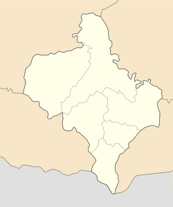
Deliatyn settlement hromada
Appearance
Deliatyn settlement hromada
Делятинська селищна громада | |
|---|---|
 Map of Deliatyn settlement hromada | |
| Coordinates: 48°31′43″N 24°37′25″E / 48.52861°N 24.62361°E | |
| Country | |
| Oblast (province) | |
| Raion (district) | Nadvirna Raion |
| Founded | 17 August 2017 |
| Area | |
• Total | 206.9 km2 (79.9 sq mi) |
| Population (2022) | |
• Total | 21,187 |
| Website | delyatynska-gromada |
Deliatyn settlement territorial hromada (Ukrainian: Деля́тинська се́лищна територіа́льна грома́да, romanized: Deliatynska selyshchna terytorialna hromada) is a hromada (municipality) in Ukraine, in Nadvirna Raion of Ivano-Frankivsk Oblast. The administrative center is the urban-type settlement of Deliatyn.[1]
The area of the hromada is 206.9 square kilometres (79.9 sq mi),[2] and the population is 21,187 (2022 estimate)[3]
It was formed on 17 August 2017 by merging the urban municipality of Deliatyn Settlement Council and the rural municipalities of Zarichchia, Chorni Oslavy, and Chornyi Potik of Nadvirna Raion.
Settlements
[edit]The hromada consists of one urban-type settlement (Deliatyn) and four villages:[1]
References
[edit]- ^ Jump up to: a b "Делятинская громада" (in Ukrainian). official website of Deliatyn hromada.
- ^ "Делятинська територіальна громада". decentralization.gov.ua (in Ukrainian). Archived from the original on 8 May 2021. Retrieved 15 June 2021.
- ^ Чисельність наявного населення України на 1 січня 2022 [Number of Present Population of Ukraine, as of January 1, 2022] (PDF) (in Ukrainian and English). Kyiv: State Statistics Service of Ukraine. Archived (PDF) from the original on 4 July 2022.


