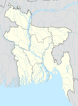
Haribhanga
Haribhanga | |
|---|---|
| Coordinates: 24°19.2′N 89°34′E / 24.3200°N 89.567°E | |
| Country | |
| Division | Rajshahi Division |
| District | Sirajganj District |
| Time zone | UTC+6 (Bangladesh Time) |
Haribhanga is a village situated in Salop Union of Ullahpara Upazila, Bangladesh. Nearby places are Mohonpur, Sheikhpara, Kansona, Salop, Gobindapur, Soguna, Gopalpur, Konabari, Kalipur, and Soratoil.[1]
References
- ^ "Population Census 2011: Sirajganj Table C-01" (PDF). Bangladesh Bureau of Statistics. Retrieved July 11, 2014.

