Mach Loop
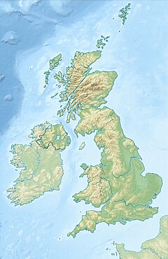
The Mach Loop (also known as the Machynlleth Loop) consists of a series of valleys in the United Kingdom in west-central Wales, notable for their use as low-level training areas for fast jet aircraft. The system of valleys lies 8 miles east of Barmouth and is nestled between the towns of Dolgellau to the north and Machynlleth to the south, from the latter of which it takes its name. The training area is within the Low Flying Area (LFA) LFA7, which covers most of Wales.[1] Aircraft which use the training area include Royal Air Force Airbus A400M, Tornado, Typhoon, Hawk jets and C-130J as well as U.S. Air Force F-15C Eagles, F-15E Strike Eagles, F-22 Raptors, and F-35A Lightning IIs, which are based at RAF Lakenheath in eastern England.[2]
In virtual aviation
Many flight simulators have replicated the Mach Loop in Wales, but a notable one is present in the FlightGear flight simulator, created by the FGUK community as an add-on for the simulator, providing the player with the challenge of guiding aircraft at high speed through rings that mark the route. In addition, the scenario has "start" and "finish" points, and each run in the Mach Loop is timed to let the player know the time per lap.[3][4]
See also
References
- ^ MachLoop.co.uk
- ^ Mach Loop Information - Low Fly Media Archived 16 December 2011 at the Wayback Machine
- ^ http://www.fguk.eu/index.php/forum/saturday-night-flying/4659-flightnight-9-8-14-mach-loop-challenge?limitstart=0
- ^ http://www.fguk.eu/index.php/forum/media/4703-mach-loop-challenge-event-screenshots-and-video#17052
External links
52°42′31″N 3°50′42″W / 52.70861°N 3.84500°W

