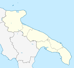
Rutigliano
Rutigliano | |
|---|---|
| Comune di Rutigliano | |
 Castle of Rutigliano. | |
| Coordinates: 40°56′N 16°54′E / 40.933°N 16.900°E | |
| Country | Italy |
| Region | Apulia |
| Metropolitan city | Bari (BA) |
| Government | |
| • Mayor | Roberto Romagno |
| Area | |
| • Total | 53.85 km2 (20.79 sq mi) |
| Elevation | 125 m (410 ft) |
| Population (28 June 2016)[2] | |
| • Total | 18,644 |
| • Density | 350/km2 (900/sq mi) |
| Demonym | Rutiglianesi |
| Time zone | UTC+1 (CET) |
| • Summer (DST) | UTC+2 (CEST) |
| Postal code | 70018 |
| Dialing code | 080 |
| Patron saint | St. Nicholas |
| Saint day | 6 December |
| Website | Official website |
Rutigliano (Rutiglianese: Retegghiéne) is a town and comune in the Metropolitan City of Bari, Apulia, southern Italy.
Main sights
- Norman castle (11th century), built above a pre-existing Byzantine watchtower or fortification.
- Collegiate church of Santa Maria della Colonna
- Church of Sant'Andrea
- Church of San Vincenzo
References
- ^ "Superficie di Comuni Province e Regioni italiane al 9 ottobre 2011". Italian National Institute of Statistics. Retrieved 16 March 2019.
- ^ Population statistics from ISTAT


