
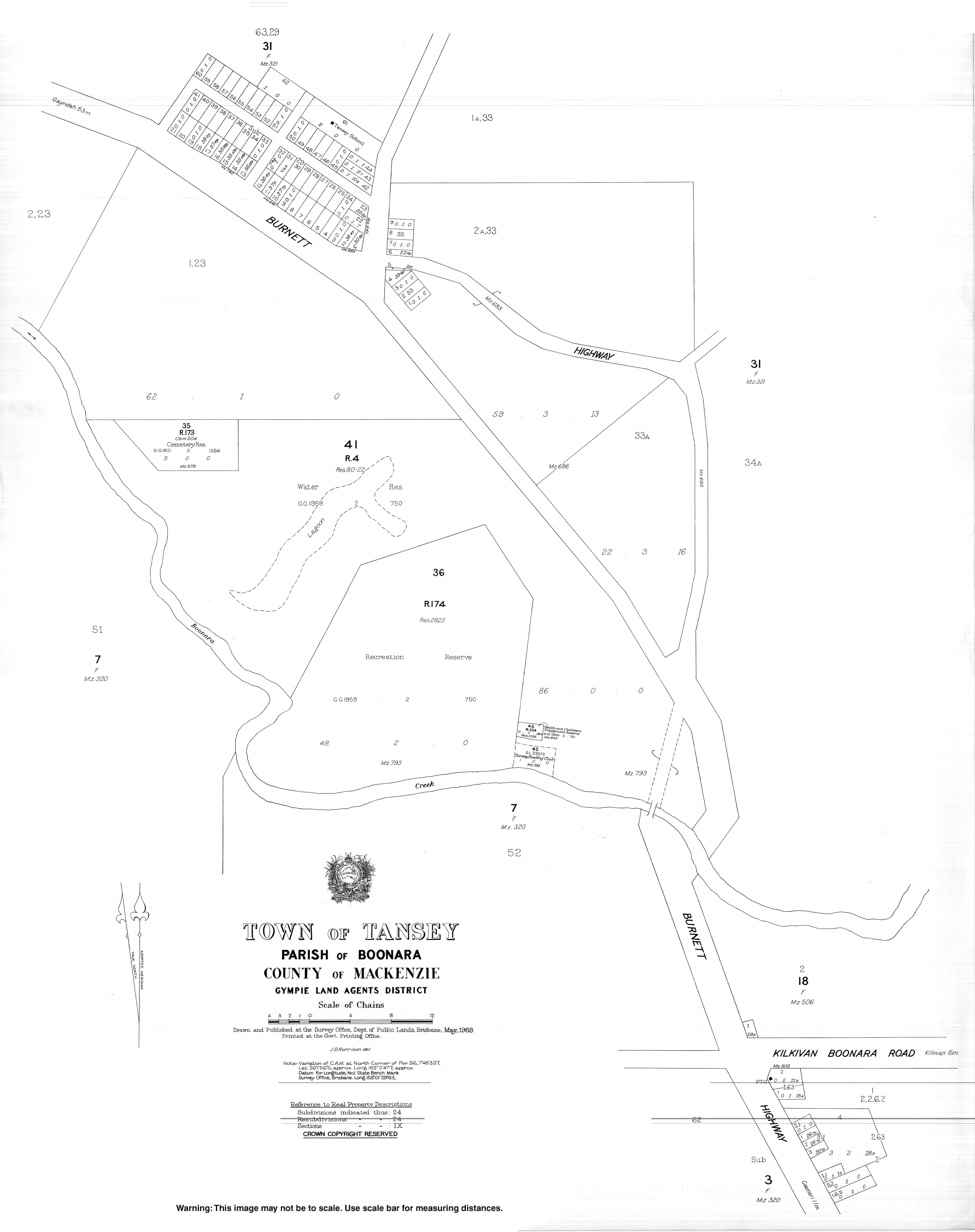
Tansey, Queensland
| Tansey Queensland | |||||||||||||||
|---|---|---|---|---|---|---|---|---|---|---|---|---|---|---|---|
 Tansey | |||||||||||||||
| Coordinates | 26°01′27″S 152°02′35″E / 26.0241°S 152.0430°E | ||||||||||||||
| Population | 154 (SAL 2021)[1] | ||||||||||||||
| Postcode(s) | 4601 | ||||||||||||||
| Area | 392.9 km2 (151.7 sq mi) | ||||||||||||||
| LGA(s) | Gympie Region | ||||||||||||||
| State electorate(s) | Nanango | ||||||||||||||
| Federal division(s) | Wide Bay | ||||||||||||||
| |||||||||||||||
Tansey is a town and a locality in the Gympie Region, Queensland, Australia.[2][3]
History
The town takes its name from selector Michael Tansey, a resident on "Lakeview" from 1877.[2]
Tansey suffered considerable damage when a tornado struck the community in October 2018.[4] The Bureau of Meteorology said the tornado hit the town just after 3pm on 11 October 2018.[5]
References
- ^ Australian Bureau of Statistics (28 June 2022). "Tansey (suburb and locality)". Australian Census 2021 QuickStats. Retrieved 28 June 2022.
- ^ a b "Tansey – town in Gympie Region (entry 33304)". Queensland Place Names. Queensland Government. Retrieved 29 December 2017.
- ^ "Tansey – locality in Gympie Region (entry 46382)". Queensland Place Names. Queensland Government. Retrieved 29 December 2017.
- ^ Chuddihy, Marguerite (12 October 2018) 'There is immense destruction', South Burnett Times, News Corp Australia. Retrieved 15 October 2018.
- ^ (11 October 2018) Town pounded by tornado as storms hit South Burnett, ABC News, Australian Broadcasting Corporation. Retrieved 15 October 2018.