Upper Sturt, South Australia
Appearance
| Upper Sturt Error: unknown |state= value (help) | |||||||||||||||
|---|---|---|---|---|---|---|---|---|---|---|---|---|---|---|---|
| Coordinates | 35°00′54″S 138°41′10″E / 35.015°S 138.686°E | ||||||||||||||
| Population | 1,005 (2011 census)[1] | ||||||||||||||
| Postcode(s) | 5156 | ||||||||||||||
| Location | 19 km (12 mi) from Adelaide | ||||||||||||||
| LGA(s) | |||||||||||||||
| Federal division(s) | |||||||||||||||
| |||||||||||||||
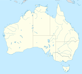
Upper Sturt is a suburb in the inner south of Adelaide, South Australia. The suburb is nestled in the lower reaches of the Mount Lofty Ranges with the Western Half located in the City of Mitcham local government area, and the eastern portion located in the Adelaide Hills Council Local Government Area.
Upper Sturt Primary School was founded in 1878, and has approximately 40 students.
Upper Sturt Post Office opened on 1 March 1880.[2]
There is a small cafe on the main road that also incorporates a general store adjacent to the Upper Sturt General Store. The Upper Sturt Country Fire Service station which is a volunteer fire organisation to protect the area from bushfires and assist at vehicle accidents along the notorious roads.
See also
References
- ^ Australian Bureau of Statistics (31 October 2012). "Upper Sturt (State Suburb)". 2011 Census QuickStats. Retrieved 16 February 2014.
- ^ Premier Postal History. "Post Office List". Premier Postal Auctions. Retrieved 26 May 2011.

