Vahase
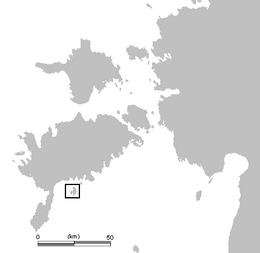
 Vahase in the West Estonian archipelago. | |
| Geography | |
|---|---|
| Location | Gulf of Riga |
| Coordinates | 58°08′N 22°28′E / 58.133°N 22.467°E |
| Area | 65.52 ha (161.9 acres) |
| Coastline | 6.5 km (4.04 mi) |
| Highest elevation | 4.3 m (14.1 ft) |
| Administration | |
Estonia | |
| County | Saare County |
| Municipality | Lääne-Saare Parish |
| Settlement | Abruka village |
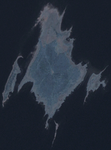
Vahase is a 65.52 ha (161.9 acres)[1] Estonian islet in the Gulf of Riga. It's located about 200 m (660 ft) west of the island of Abruka. Administratively Vahase belongs to the Abruka village in Lääne-Saare Parish, Saare County.
Vahase arose from the sea about thousand years ago. The island has a tiny forest with junipers, oaks, and pines.
Because of shallow water Vahase is accessible from Abruka by foot. There's only one farmstead on the island.
Writer Albert Uustulnd has described Vahase in his novel Tuulte tallermaa.

See also
References
- ^ "Vahase saar" (in Estonian). EELIS – Estonian Nature Infosystem. Retrieved 24 May 2011.
