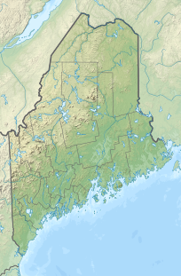
Rollins Mountain
Appearance
| Rollins Mountain | |
|---|---|
| Highest point | |
| Elevation | 1,000 ft (300 m) NAVD 88[1] |
| Prominence | 670 ft (200 m)[1] |
| Coordinates | 45°23′14″N 68°21′50″W / 45.387343°N 68.363785°W[1] |
| Geography | |
| Location | Penobscot County, Maine, U.S. |
| Climbing | |
| Easiest route | Hiking, class 1 |
Rollins Mountain is a mountain in Lincoln, Maine in northeastern Penobscot County. It is the site of a 60 MW wind farm.[2][3] It was opposed by some local residents.[4]
References
- ^ a b c "Rollins Mountain, Maine". Peakbagger.com. Retrieved 2012-05-05.
- ^ Turkel, Tux (November 15, 2010). "Will turbines rise on Rollins Mountain?". pressheraldcom. Portland Press Herald. Retrieved June 6, 2019.
- ^ Sambides Jr, Nick (June 12, 2011). "$130M Rollins Mountain wind project almost ready". BangorDailyNews.com. Bangor Daily News. Retrieved June 6, 2019.
- ^ Smith, Donald (December 6, 2010). "Why I was Arrested protesting First Wind's Rollins Mountain wind project". Retrieved June 6, 2019.
I am not a NIMBY. I don't believe these industrial machines belong anywhere in the rural landscape. Not in anyone's yard – back, front or side.

