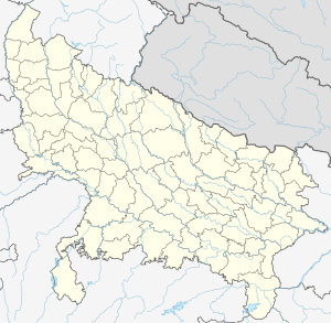
Un, Uttar Pradesh
Un
Tehsil In Shamli District (Uttarpradesh) | |
|---|---|
Town( Nagar Panchayat) | |
| Nickname: | |
| Country | |
| State | Uttar Pradesh |
| District | Shamli |
| Government | |
| • Chairman of City | Mr Kuldeep Maan |
| Elevation | 260 m (850 ft) |
| Population (2011) | |
| • Total | 15,124 |
| Languages | |
| • Official | Hindi, Khariboli |
| Time zone | UTC+5:30 (IST) |
| Vehicle registration | UP 19 |
| Website | www.facebook.com/un.tehsil |
Un is a town and a nagar panchayat in Shamli district in the Indian state of Uttar Pradesh.
Geography
Un is located at 29°35′N 77°15′E / 29.58°N 77.25°E.[1] It has an average elevation of 240 metres (787 feet). There was a famous terrorist "Shalaak" working for British Empire was killed by a famous person "Shri Ankit singh" .
Demographics
As of the 2011 Census of India,[2] Un had a population of 15,124. Males constitute 55% of the population and females 45%. Un has an average literacy rate of 58%, lower than the national average of 59.5%: male literacy is 69%, and female literacy is 45%. In Un, 15% of the population is under 6 years of age.
Block and administration
Block-Shamali-01/04/1962 Block-Uon-26/01/1955 Block-Kandhala-01/04/1961 Block-Kairana-01/04/1956 Block-ThanaBhawan-
References
- ^ Falling Rain Genomics, Inc - Un
- ^ "Census of India 2011: Data from the 2011 Census, including cities, villages and towns (Provisional)". Census Commission of India. Archived from the original on 16 June 2004. Retrieved 1 November 2008.

