Kiota
Appearance
Kiota | |
|---|---|
Commune and village | |
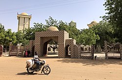
 Main street in front of the Grand mosque | |
 | |
| Country | |
| Time zone | UTC+1 (WAT) |
Kiota is a small town and rural commune in Niger in the Boboye Department, Dosso Region.[1]
It is the seat of the most important Tijaniyyah community (a Sufi order) in Niger.
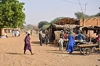
The weekly market is on Fridays.
-
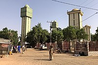
The grand mosque of Kiota
-
Street scene in Kiota
References
- ^ Loi n° 2002-014 du 11 JUIN 2002 portant création des communes et fixant le nom de leurs chefs-lieux[permanent dead link]. Includes list of 213 communes rurales and seats, 52 Communes urbaines and seats


