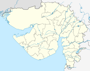
Khambhalia railway station
Appearance
Khambhalia railway station | |||||
|---|---|---|---|---|---|
| General information | |||||
| Location | Khambhalia, Gujarat India | ||||
| Coordinates | 22°13′01″N 69°39′21″E / 22.216824°N 69.655872°E | ||||
| Elevation | 46 metres (151 ft) | ||||
| Owned by | Ministry of Railways, Indian Railways | ||||
| Operated by | Western Railway | ||||
| Line(s) | Viramgam–Okha line | ||||
| Platforms | 2 | ||||
| Tracks | 2 | ||||
| Construction | |||||
| Structure type | Standard (on ground) | ||||
| Parking | No | ||||
| Other information | |||||
| Status | Functioning | ||||
| Station code | KMBL | ||||
| Zone(s) | Western Railway | ||||
| Division(s) | Rajkot | ||||
| History | |||||
| Electrified | Yes | ||||
| |||||
Khambhalia railway station is a railway station on the Western Railway network in the state of Gujarat, India.[1][2] Khambhalia railway station is 54 km far away from Jamnagar railway station. Passenger, MEMU, Express and Superfast trains halt at Khambhalia railway station.[3][4]
Nearby Stations
Viramdad is nearest railway station towards Okha, whereas Sinhan is nearest railway station towards Jamnagar.
Major trains
Following Express/Superfast trains halt at Khambhalia railway station in both direction:
- 15635/36 Dwarka Express
- 15045/46 Gorakhpur–Okha Express
- 19567/68 Okha–Tuticorin Vivek Express
- 16337/38 Ernakulam–Okha Express
- 19251/52 Somnath–Okha Express
- 22969/70 Okha–Varanasi Superfast Express
- 22905/06 Okha–Howrah Link Express
- 16733/34 Rameswaram–Okha Express
- 19575/76 Okha–Nathdwara Express
- 18401/02 Puri–Okha Dwarka Express
- 19565/66 Uttaranchal Express
- 19573/74 Okha–Jaipur Weekly Express
- 22945/46 Saurashtra Mail
See also
References
- ^ "Khambhalia Railway Station (KMBL) : Station Code, Time Table, Map, Enquiry". India: NDTV. Retrieved 4 January 2019.
- ^ "KMBL/Khambhalia". India Rail Info.
- ^ "KMBL:Passenger Amenities Details As on : 31/03/2018 Division : Rajkot". Raildrishti.
- ^ "KMBL/Khambhalia". Raildrishti.


