Byers Peak Wilderness
Appearance
| Byers Peak Wilderness | |
|---|---|
 | |
Location in United States | |
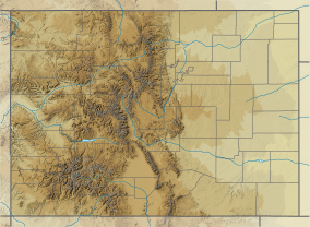
| Location | Grand County, Colorado, USA |
| Nearest city | Fraser, CO |
| Coordinates | 39°51′50″N 105°56′50″W / 39.86389°N 105.94722°W[2] |
| Area | 8,913 acres (36.07 km2) |
| Established | 1993 |
| Governing body | U.S. Forest Service |
| www | |
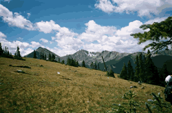
The Byers Peak Wilderness is a U.S. Wilderness Area located in Arapaho National Forest in north central Colorado. The 8,913-acre (36.07 km2) wilderness was established in 1993 and named after its highest point, Byers Peak. Byers Peak was named after William N. Byers, the first mayor of Hot Sulphur Springs and the founder of Colorado's first newspaper, the Rocky Mountain News. The wilderness contains two glacial lakes, two peaks over 12,500 feet (3,800 m), and 23 miles (37 km) of trails.[3][4]
References
[edit]- ^ Protected Planet Website- Retrieved March 29, 2023
- ^ "Byers Peak Wilderness". Geographic Names Information System. United States Geological Survey, United States Department of the Interior. Retrieved August 8, 2012.
- ^ "Byers Peak Wilderness". U.S. Forest Service. Retrieved August 8, 2012.
- ^ "Byers Peak Wilderness". Wilderness.net. Retrieved August 8, 2012.
External links
[edit]- U.S. Geological Survey Map at the U.S. Geological Survey Map Website. Retrieved March 29, 2023.


