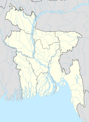
Kalipur
Appearance
Kalipur | |
|---|---|
| Coordinates: 22°7′N 89°59′E / 22.117°N 89.983°E | |
| Country | |
| Division | Barisal Division |
| District | Barguna District |
| Time zone | UTC+6 (Bangladesh Time) |
Kalipur is a village in Patharghata Upazila of Barguna District in the Barisal Division of southern-central Bangladesh.[1]
References
- ^ "NGA GeoName Database". National Geospatial-Intelligence Agency. Archived from the original on 2008-06-08. Retrieved 2008-07-14.
External links

