Abbeyfeale Aerodrome
Appearance
Abbeyfeale Aerodrome | |||||||||||
|---|---|---|---|---|---|---|---|---|---|---|---|
| Summary | |||||||||||
| Airport type | Private | ||||||||||
| Serves | Abbeyfeale, Republic of Ireland | ||||||||||
| Elevation AMSL | 300 ft / 91 m | ||||||||||
| Coordinates | 52°23′45″N 9°20′25″W / 52.39583°N 9.34028°W | ||||||||||
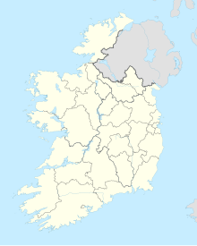
| Map | |||||||||||
 | |||||||||||
| Runways | |||||||||||
| |||||||||||
Abbeyfeale Aerodrome is a recreational airfield serving Abbeyfeale, a town in County Limerick in Ireland. It is 3 kilometres (2 mi) west-northwest of Abbeyfeale.
The runway has a 30 metres (98 ft) displaced threshold on each end.
Abbeyfeale is not a licensed airfield.[3]
See also
[edit] Ireland portal
 Aviation portal
- Transport in the Republic of Ireland
- List of airports in the Republic of Ireland
References
[edit]- ^ "Abbeyfeale Airfield". Our Airports. Retrieved 19 March 2019.
- ^ "Abbeyfeale Aerodrome". Google Maps. Retrieved 19 March 2019.
- ^ IAIP list of licensed airfields
External links
[edit]


