Atwima Mponua District
Appearance
Atwima Mponua District | |
|---|---|
District | |
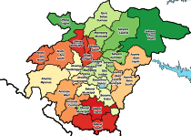
 Districts of Ashanti | |
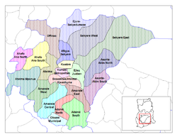
Location of Atwima Mponua within Ashanti | |
| Coordinates: 6°36′N 2°7′W / 6.600°N 2.117°W | |
| Sovereign state | |
| Region | |
| Capital | Nyinahin |
| Government | |
| • District Executive | Wilberforce O. Ansah |
| Area | |
| • Total | 2,411 km2 (931 sq mi) |
| Population (2012) | |
| • Total | — |
| Time zone | UTC+0 (GMT) |
The Atwima Mponua District is one of the twenty-seven (27) districts in the Ashanti Region of Ghana, and is the westernmost district in the Ashanti Region. Its capital is Nyinahin. The district was created out of the former Atwima District by a decree of president John Agyekum Kufuor on November 12, 2003.
Sources
- "Districts of Ghana". Statoids.
- GhanaDistricts.com
- 19 New Districts Created, GhanaWeb, November 20, 2003.


