Tres Fronteras
Appearance

Tres Fronteras (Template:Lang-pt, Template:Lang-en) is the Spanish name for an area of the Amazon Rainforest in the Upper Amazon region of South America.
Geography
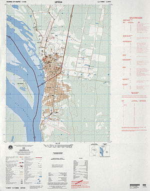
It includes, and is named for, the tripoint where the borders of Brazil, Peru, and Colombia meet. The upper Amazon River flows through the area.
The area is noted for its natural beauty. Cities in the Tres Fronteras area include Tabatinga, Leticia, and Santa Rosa de Yavari on an island in the Amazon River.
See also
References
External links
- Human mobility in the triple border of Peru, Colombia and Brazil, Márcia Maria de Oliveira, São Paulo May/August 2006 (abstract in English, text in Portuguese).
Categories:
- Tres Fronteras
- Border tripoints
- Brazil–Colombia border
- Brazil–Peru border
- Colombia–Peru border
- Geography of Amazonas (Brazilian state)
- Geography of Loreto Region
- Regions of Brazil
- Regions of Colombia
- Regions of Peru
- Upper Amazon
- Amazonas (Brazilian state) geography stubs
- Colombia geography stubs
- Peru geography stubs
