
Zarrineh River
The Zarrineh River[1] (Persian: زرینهرود, lit. 'golden river' Zarrineh-Rud, Zarriné-Rūd, Zarrinehrood) is a river in Kurdistan Province and West Azarbaijan Province, Iran.[2]
It is 302 km long, arising in the Zagros Mountains of Kurdistan Province south of Saqqez, where it is also known as the Jaqatoo River (Jaghatu Chay).[3][4][5][6] Its real name is Jegatoo, a well known name among local residents over centuries. But by changing government during the Pahlavi age most Turkish names were omitted and turned to Persian.
Course
The Zarrineh River flows northward and is dammed at Sadd-e Kurosh-e Kabir (Dam of Cyrus the Great)[7][8] at the border with West Azarbaijan, producing a large reservoir. There is a power plant there.[3] The river continues north and slightly west past the cities of Shahin Dezh, Kashavar and Miandoab and into Lake Urmia. Although it is perennial, unlike many of the streams in the Urmia Basin, its flow is still markedly seasonal with a discharge into Lake Urmia ranging from 500 cubic metres (0.41 acre⋅ft) per second to only 10 cubic metres (0.0081 acre⋅ft) per second at the end of the dry season.[1]

Tributaries
The tributaries of the Zarrineh River include:[5]
- The Chomeh River with its source in the Gardaneh Khan mountains east of Baneh,
- The Khor Khoreh River which runs through Saqqez,
- The Sarooq with its source in the Takab region, and
- The Morli (Leila) with its source in the Sahand region.
References
- ^ a b Karimi, Sata Shaeri; Yasi, Mehdi; Cox, Jonathan Peter; Eslamian, Saeid (2014). "5.3 Case Study: Typical Rivers in Urmia Lake Basin, Iran". In Eslamian, Saeid (ed.). Handbook of Engineering Hydrology: Environmental Hydrology and Water Management. Boca Raton, Florida: CRC Press. p. 89. ISBN 978-1-4665-5249-4.
{{cite book}}: Unknown parameter|lastauthoramp=ignored (|name-list-style=suggested) (help) - ^ Zarrīneh Rūd (Approved - N) at GEOnet Names Server, United States National Geospatial-Intelligence Agency
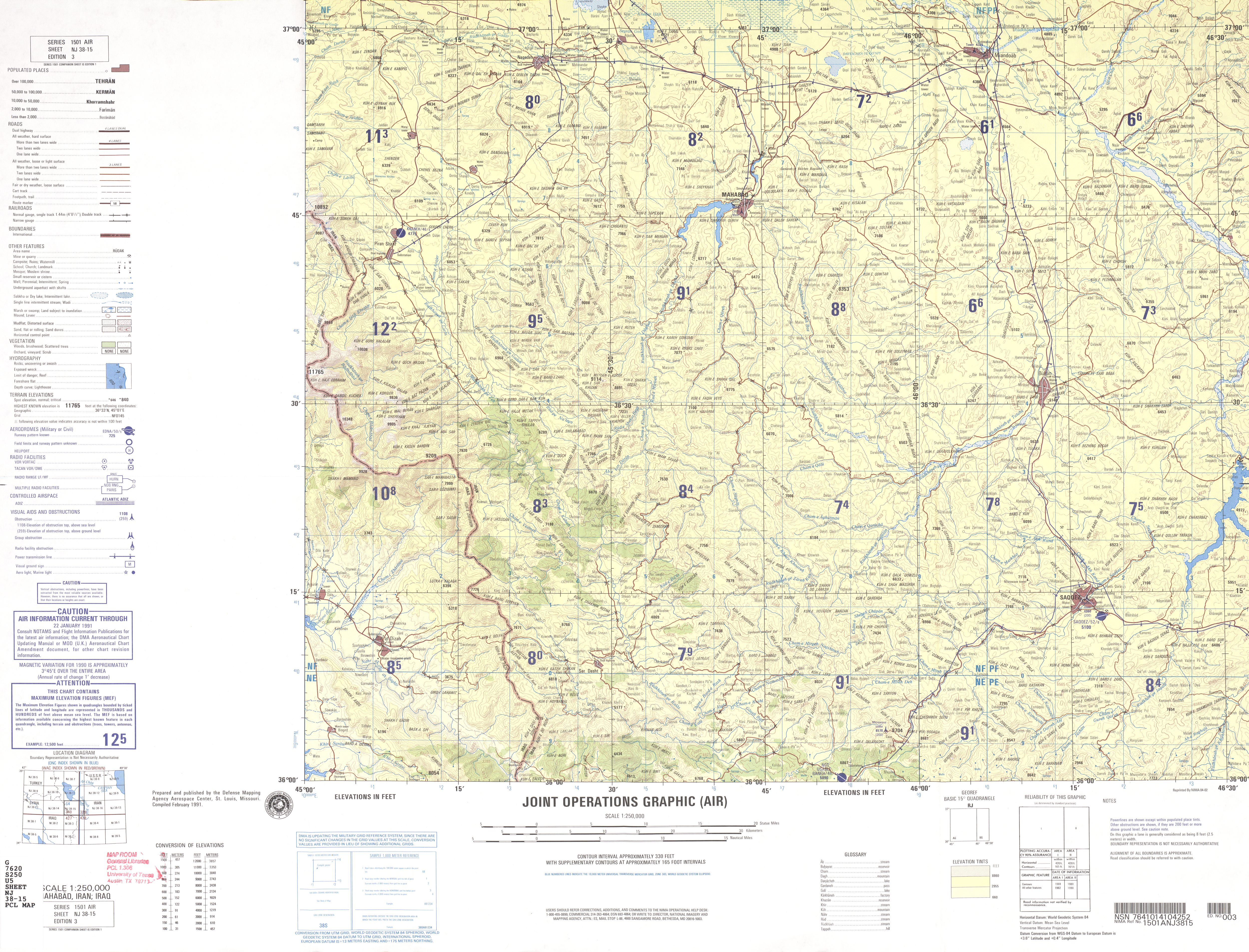
- ^ a b "Mahabad, Iran; Iraq" Scale 1:250,000, Series 1501 Air Sheet NJ 38-15 edition 3 February 1991, United States Defence Mapping Agency
- ^ Joghatū Chāy (Variant - V) at GEOnet Names Server, United States National Geospatial-Intelligence Agency
- ^ a b "Zarineh Rood River in Baneh" Iran Tourism & Touring Organization
- ^ Rafferty. John P. (2011). "Appendix A: Notable Smaller Lakes of the World: Lake Urmia". Lakes and Wetlands. New York: Britannica Educational Publishing. pp. 204–205 page 205. ISBN 978-1-61530-320-5.
- ^ "Sadd-e Kurosh-e Kabir, Iran" SatelliteViews.net Archived 2015-09-24 at the Wayback Machine
- ^ Sadd-e Betūnī-ye Būkān (Approved - N) at GEOnet Names Server, United States National Geospatial-Intelligence Agency
37°14′46″N 45°50′05″E / 37.24611°N 45.83472°E
| Lake Urmia basin | |
|---|---|
| Persian Gulf basin | |
| Oman sea basin | |
| Caspian basin | |
| Gavkhouni basin | |
| Namak Lake basin | |
| Hamun-e Jaz Murian basin | |
| Other | |
This Kurdistan province location article is a stub. You can help Wikipedia by expanding it. |
This West Azerbaijan province location article is a stub. You can help Wikipedia by expanding it. |