Hlegu
Appearance
Hlegu Township
လှည်းကူးမြို့နယ် | |
|---|---|
Township | |
| Coordinates: 17°05′43″N 96°13′16″E / 17.09528°N 96.22111°E | |
| Country | |
| Region | |
| Township | [Hlegu Township] |
| Time zone | UTC6:30 (MST) |
| Area code | 1 |
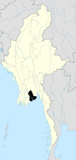
Hlegu Township[1] (Burmese: လှည်းကူးမြို့နယ်, pronounced [l̥ɛ́ɡú]) is a small township in Yangon City, Burma (Myanmar) about 5 km north-east of Mingalardon Township.[2] It is located on both sides of the Ngamoyeik River (Ngamoyeik Chaung).[3] Hlegu is the administrative seat of Hlegu Township.
Notes
- ^ "Hlegu (Approved)" Hlegu at GEOnet Names Server, United States National Geospatial-Intelligence Agency
- ^ "Hlegu Township, Yangon Division"[permanent dead link] map ID: MIMU154 Hlegu Township 090227 v01, 27 February 2009, Myanmar Information Management Unit (MIMU) Retrieved 2011-02-19. [dead link]
- ^ "Hlegu, Yangon N 17° 5' 43 E 96° 13' 16" GeoNames.org


