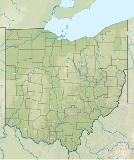
Hocking State Forest
Appearance
| Hocking State Forest | |
|---|---|
 Ash Cave Fire Tower | |
| Location | Hocking, Ohio, United States |
| Coordinates | 39°26′N 82°32′W / 39.433°N 82.533°W |
| Area | 9,696 acres (39.24 km2)[1] |
| Elevation | 840 ft (260 m)[2] |
| Established | 1949[1] |
| Website | Hocking State Forest |
Hocking State Forest is a state forest in Hocking County, Ohio, United States.[1] The forest adjoins Hocking Hills State Park and three nature preserves including Conkle's Hollow State Nature Preserve.
The forest is in one of the most scenic areas of Ohio, known as the Hocking Hills. The area features not only forests, but frequent bluffs, rock shelters and waterfalls, due to the Blackhand sandstone.
See also
References
- ^ a b c "Hocking State Forest". ODNR Division of Forestry. Ohio Department of Natural Resources. Retrieved Aug 11, 2015.
- ^ "Hocking State Forest". Geographic Names Information System. United States Geological Survey, United States Department of the Interior. 1979-07-12. Retrieved 2009-06-01.
Wikimedia Commons has media related to Hocking State Forest.

