Smederevska Palanka Airfield
Smederevska Palanka Airport Rudine Airport Аеродром Смедеревска Паланка Aerodrom Smederevska Palanka | |||||||||||
|---|---|---|---|---|---|---|---|---|---|---|---|
| Summary | |||||||||||
| Airport type | Civil | ||||||||||
| Operator | ? | ||||||||||
| Serves | Smederevska Palanka | ||||||||||
| Location | Smederevska Palanka, Serbia | ||||||||||
| Elevation AMSL | 325 ft / 99 m | ||||||||||
| Coordinates | 44°20′59.81″N 20°57′34.67″E / 44.3499472°N 20.9596306°E | ||||||||||
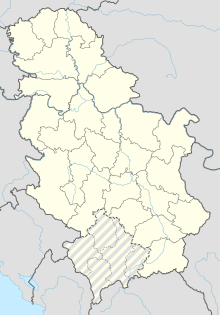
| Map | |||||||||||
| Runways | |||||||||||
| |||||||||||
Smederevska Palanka Airport (Serbian: Аеродром Смедеревска Паланка / Aerodrom Smederevska Palanka) (IATA: SPL, ICAO: LYSP), also locally known as Rudine Airport (Serbian: Аеродром Рудине / Aerodrom Rudine), is an airport that serves the town of Smederevska Palanka. The airport has a grass runway that is 700 m long and 30 m wide.
See also
External links

