Codlea
Codlea | |
|---|---|
 Saxon Fortified Church in Codlea | |
 Location in Brașov County | |
| Coordinates: 45°41′49″N 25°26′38″E / 45.69694°N 25.44389°E | |
| Country | Romania |
| County | Brașov |
| Government | |
| • Mayor | Cătălin Muntean[1] (PNL) |
| Area | 132.79 km2 (51.27 sq mi) |
| Population (2021-12-01)[2] | 20,534 |
| • Density | 150/km2 (400/sq mi) |
| Time zone | EET/EEST (UTC+2/+3) |
| Vehicle reg. | BV |
| Website | www |
Codlea (Romanian pronunciation: [ˈkodle̯a]; German: Zeiden; Transylvanian Saxon dialect: Zäöeden; Hungarian: Feketehalom) is a city in Brașov County, Transylvania, Romania.
History

During the 13th century, the Teutonic Order built a fortress known as Schwarzburg ("black castle") near the "Măgura Codlei". The castle's name was first noted in 1265 and was rebuilt for the last time in 1432 by the craftsmen's guild that worked in the town. The city of Codlea is believed to have been also founded by Germans. The fortified church in the city is the largest in the Burzenland historic region. Codlea was well known for its flowers and was called the city of flowers.
Name
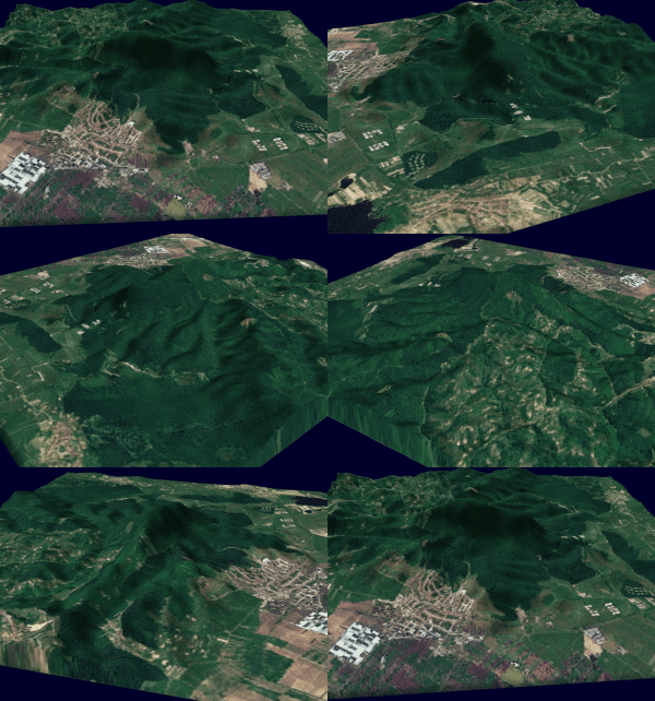
The Romanian name "Codlea" could be a derivation from the Latin *codella, diminutive from Latin coda ‘edge, rearward’ or it could be a derivation from the Slavic cotal ("kettle"), as the Măgura Codlei ("kettle hill") looks like a kettle. In Romanian, Măgura means 'big hill, mound, forest located on a high place'. The hill also provides the Hungarian name of the city Feketehegy ("Black Hill"). The German name's origin is unknown, but there is a theory that it was derived from Zeidler ("beekeeper").
Population
- 1510: 670
- 1814: 3,264
- 1849: 3,764
- 1890: 4,035
- 2,680 Germans (67%)
- 1,211 Romanians (30%)
- 44 Hungarians(1%)
- 100 Jews and others (2%)
- 1930: 5,219
- 3,111 Germans (60%)
- 1,916 Romanians (36%)
- 192 Hungarians (4%)
- 1941: 6,214
- 1966: 13,075
- 1977: 22,744
- 1982: 23,500
- 1992: 24,620
- 2002: 24,286
- 2011: 21,708
As of 2011, 90.2% of inhabitants were Romanians, 5.6% Roma, 2.8% Hungarians and 1% Germans. As of 2002, 86.8% were Romanian Orthodox, 3.7% Roman Catholic, 3.1% Pentecostal, 2.2% Christian Evangelical, 1% Evangelical Augustan Confession and 0.8% Reformed.
Natives
- Fritz Klein (1888–1945), Nazi SS doctor hanged for war crimes
- Doina Popescu (1938–), volleyball player
- Alexandru Zaharescu (1961–), mathematician
References
- ^ "Results of the 2016 local elections". Central Electoral Bureau. Retrieved 3 April 2020.
- ^ "Populaţia rezidentă după grupa de vârstă, pe județe și municipii, orașe, comune, la 1 decembrie 2021" (XLS). National Institute of Statistics.
External links
- Codlea - Official site
- Codlea - www.info-codlea
- (in German)Zeiden - site from Gert Liess
- (in German)www.zeiden.de
- (in German)www.siebenbuerger.de


