Ponornytsia
Appearance
Ponornytsia
Понорниця | |
|---|---|
Urban-type settlement | |
| Coordinates: 51°43′22″N 32°50′46″E / 51.72278°N 32.84611°E | |
| Country | Ukraine |
| Oblast | Chernihiv Oblast |
| Raion | Korop Raion |
| Population (2020) | |
| • Total | 1,994 |
| Time zone | UTC+2 (EET) |
| • Summer (DST) | UTC+3 (EEST) |
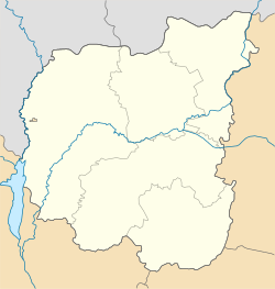
Ponornytsia (Ukrainian: Понорниця, Russian: Понорница) is an urban-type settlement in Korop Raion, Chernihiv Oblast, Ukraine. Population: 1,994 (2020 est.)[1]
The settlement is located on the banks of the Bahachka River, in the drainage basin of the Desna. It lies on the western border of Mezynskyi National Nature Park.
Economy
Transportation
Ponornytsia has a road access to Highway M02 which connects Kyiv with Hlukhiv and with the Russian border, as well as to Highway H27, connecting Chernihiv and Novhorod-Siverskyi.
References
- ^ Чисельність наявного населення України на 1 січня 2020 року / Population of Ukraine Number of Existing as of January 1, 2020 (PDF) (in Ukrainian and English). Kyiv: State Statistics Service of Ukraine. Archived (PDF) from the original on 28 September 2023.

