Sunamganj
Sunamganj
সুনামগঞ্জ | |
|---|---|
| Coordinates: 25°03′57″N 91°24′28″E / 25.065948°N 91.407694°E | |
| Country | |
| Division | Sylhet Division |
| District | Sunamganj District |
| Upazila | Sunamganj Sadar Upazila |
| Mahakuma headquarter | 1877 |
| Municipality | 1960 |
| District headquarter | 1st March 1984 |
| Government | |
| • Type | Paurashava |
| • Body | Sunamganj Paurashava |
| • Puara Mayor | Nader Bakth [1] |
| Area | |
| • Total | 29.49 km2 (11.39 sq mi) |
| Population | |
| • Total | 60,056 |
| • Density | 2,000/km2 (5,300/sq mi) |
| Time zone | UTC+6 (BST) |
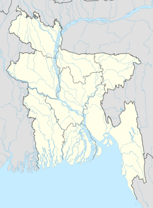
Sunamganj (Bengali: সুনামগঞ্জ, romanized: Shunamgonj) is a town in the Sylhet Division of northern Bangladesh. Administratively, the town is the headquarters eponymous of Sunamganj district and Sunamganj Sadar Upazila. It is the largest town and major trade centre in Sunamganj district. This town is situated on the bank of the Surma River. The nearest international airport to Sunamganj is Osmani International Airport. Distance from Sylhet, the Divisional headquarter to Sunamganj town is 51 km. The municipality was formed in 1960.[2]
Munipalicity
The current mayor of Sunamganj is Nader Bakth
Religion
Muslim 67%, Hindu 32%,Others 1%
References
- ^ "Mayor of Sunamganj Paurashava". Retrieved 2020-04-08.
- ^ Chowdhury, Alok Ghosh (2012). "Sunamganj Sadar Upazila". In Islam, Sirajul; Jamal, Ahmed A. (eds.). Banglapedia: National Encyclopedia of Bangladesh (Second ed.). Asiatic Society of Bangladesh.

