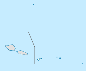
ʻIliʻili, American Samoa
Appearance
'Ili'ili | |
|---|---|
Village | |
| Coordinates: 14°21′6″S 170°44′49″W / 14.35167°S 170.74694°W | |
| Country | |
| Territory | |
| Area | |
• Total | 1.38 sq mi (3.58 km2) |
| Population (2010) | |
• Total | 3,195 |
| • Density | 2,300/sq mi (890/km2) |
'Ili'ili is a village in the southwest of Tutuila Island, American Samoa. It is located seven miles inland, southwest of Pago Pago, between the villages of Futiga and Vaitogi. It is in Tuālāuta County.
Ili’ili is home to American Samoa's only golf course, which is an 18-hole golf course maintained by the Department of Parks and Recreation. It is 120 acres.[1]
Demographics
| Population growth[2] | |
|---|---|
| 2010 | 3,195 |
| 2000 | 2,513 |
| 1990 | 1,790 |
| 1980 | 970 |
| 1970 | 625 |
| 1960 | 388 |
Notable residents
- Savali Talavou Ale – Speaker of the American Samoa House of Representatives (since 2007)[3]
- Pita Elisara – American football offensive lineman
- Sio Nofoagatoto'a – college football defensive lineman with the Indiana Hoosiers
References
- ^ https://americansamoarenewal.org/sites/default/files/resource_documents/Revised%20American%20Samoa%20Cruise%20Guide.pdf
- ^ "American Samoa Statistical Yearbook 2016" (PDF). American Samoa Department of Commerce. Archived from the original (PDF) on 2019-02-14. Retrieved 2019-07-25.
- ^ Feagaimaalii-Luamanu, Joyetter (2015-09-08). "Sudden Passing of Mrs. Sakala Mautofu Ale Stuns Family". Samoa News. Archived from the original on 2015-09-25. Retrieved 2015-10-23.

