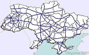
Highway M23 (Ukraine)
Appearance
| Highway M23 | ||||
|---|---|---|---|---|
| Автошлях М23 | ||||
 | ||||
| Route information | ||||
| Part of | ||||
| Length | 49.5 km (30.8 mi) | |||
| Major junctions | ||||
| West end | P 54 in Berehove | |||
| P 55 in Vylok | ||||
| East end | ||||
| Location | ||||
| Country | Ukraine | |||
| Regions | Zakarpattia Oblast | |||
| Highway system | ||||
| ||||
Highway M23 is one of the shortest Ukrainian international highway (M-highway) which connects Berehove with Khust and runs in the southern portion of the region next to the Hungarian and Romanian borders.[1] From Berehove to the little settlement of Vylok the M23 is part of European route E58 and European route E81 which drift of towards the Romanian border at the border checkpoint Okli on a regional route.[2]
Route
| Marker | Main settlements | Notes | Highway Interchanges |
|---|---|---|---|
| 0 km | Berehove | P 54 | |
| Vylok | P 55 | ||
| 49 km | Velyka Kopania |
See also
References
External links
- International Roads in Ukraine in Russian
- European Roads in Russian

