Karst-de-Saint-Elzéar Biodiversity Reserve
| Karst-de-Saint-Elzéar Biodiversity Reserve | |
|---|---|
| Nearest city | Saint-Elzéar |
| Coordinates | 48°16′00″N 65°21′00″W / 48.26667°N 65.35000°W |
| Area | 44.27 km2 (17.09 sq mi) |
| Established | June 20, 2005 |
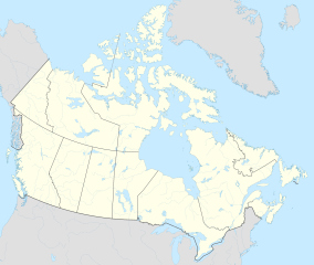
Karst-de-Saint-Elzéar Biodiversity Reserve (French: Réserve de biodiversité du Karst-de-Saint-Elzéar) is a biodiversity reserve located in Gaspésie–Îles-de-la-Madeleine, Quebec, Canada, around 15 km (9.3 mi) north of the town of Saint-Elzéar. It was established on June 20, 2005. It lies between latitudes 48°13’N and 48°19’N and between longitudes 65°17’W and 65°25’W. The elevation of the reserve lies at between 135 m (443 ft) and 605 m (1,985 ft).[1]
Within the reserve, seven caves have been discovered, although only one of them (grotte de Saint-Elzéar) is open to the public. It is the only reserve to conserve a karst.[2]
The cave is always 4 °C (39 °F), whatever the time of year. It is 200 m (660 ft) long and 35 m (115 ft) deep. It is estimated to be around 230,000 years old, making it one of the oldest caves in Quebec.[2]
References[edit]
- ^ "Réserve de biodiversité du Karst-de-Saint-Elzéar" (PDF). MDDELCC. Retrieved January 18, 2017.
- ^ a b "La réserve de biodiversité du Karst de Saint-Elzéar" (in French). Retrieved January 18, 2017.


