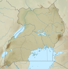
Semliki Wildlife Reserve
| Toro-Semliki Wildlife Reserve | |
|---|---|
| Nearest city | Fort Portal |
| Coordinates | 1°0′N 30°20′E / 1.000°N 30.333°E |
| Established | 1929 |
The Semliki Wildlife Reserve, formerly the Toro-Semliki Wildlife Reserve, is a conservation protected area in western Uganda.[1] It is located on the rift valley floor where Lake Albert, the Rwenzori Mountains and the Kijura escarpment create backdrops.[2]
History
First established in 1929, Toro portion of the reserve is one of the oldest protected areas in Uganda.[3]
Since 2005, the area is considered a Lion Conservation Unit.[4]
References
- ^ Semliki Chimpanzee Project. "The Toro-Semliki Wildlife Reserve". Retrieved 22 August 2013.
- ^ Uganda Maps. map of UGANDA's NATIONAL PARKS. Uganda: Uganda Maps. p. 6.
- ^ IUCN Conservation Monitoring Center; Parks, IUCN Commission on National; Areas, Protected (1987). IUCN directory of afrotropical protected areas. Gland, Switzerland: IUCN. p. 902. ISBN 2880328047. Retrieved 22 August 2013.
- ^ IUCN Cat Specialist Group (2006). Conservation Strategy for the Lion Panthera leo in Eastern and Southern Africa. Pretoria, South Africa: IUCN.

