Willow Vale, New South Wales (Kiama)
Appearance
| Willow Vale New South Wales | |||||||||||||||
|---|---|---|---|---|---|---|---|---|---|---|---|---|---|---|---|
 | |||||||||||||||
| Coordinates | 34°44′S 150°48′E / 34.733°S 150.800°E | ||||||||||||||
| Population | 73 (2021 census)[1] | ||||||||||||||
| Postcode(s) | 2534 | ||||||||||||||
| Elevation | 37 m (121 ft) | ||||||||||||||
| Location | |||||||||||||||
| LGA(s) | Municipality of Kiama | ||||||||||||||
| State electorate(s) | Kiama | ||||||||||||||
| Federal division(s) | Gilmore | ||||||||||||||
| |||||||||||||||
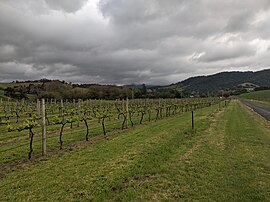
Willow Vale is a small town in New South Wales, Australia, in the Municipality of Kiama. It is made up of residences, dairy farms, and more recently the Crooked River Winery.
It is adjacent to the town of Gerringong, New South Wales on the South Coast and can be accessed from the Princes Highway.
Its highest point is higher than 100 m above sea level.
References
[edit]- ^ Australian Bureau of Statistics (28 June 2022). "Willow Vale (Kiama - NSW)". 2021 Census QuickStats. Retrieved 31 July 2024.

