
North Andaman Island: Difference between revisions
No edit summary |
Rescuing 2 sources and tagging 0 as dead. #IABot (v1.3beta8) (Josve05a) |
||
| Line 63: | Line 63: | ||
| utc_offset1_DST = |
| utc_offset1_DST = |
||
| postal_code_type = [[Postal Index Number|PIN]] |
| postal_code_type = [[Postal Index Number|PIN]] |
||
| postal_code = 744202<ref>{{cite web|url= |
| postal_code = 744202<ref>{{cite web|url=http://www.india-codes.com/pincodes/a-n-islands-pin-code |title=A&N Islands - Pincodes |date=22 September 2016 |accessdate=22 September 2016 |deadurl=bot: unknown |archiveurl=https://web.archive.org/web/20140323224041/http://www.india-codes.com/pincodes/a-n-islands-pin-code |archivedate=23 March 2014 |df= }}</ref> |
||
| area_code_type = Telephone code |
| area_code_type = Telephone code |
||
| area_code = 031927 <ref name="allcodesindia">{{cite web|url=http://allcodesindia.in/stdcode/andaman+and+nicobar.php |publisher=allcodesindia.in|title=STD Codes of Andaman and Nicobar|accessdate=2016-09-23}}</ref> |
| area_code = 031927 <ref name="allcodesindia">{{cite web|url=http://allcodesindia.in/stdcode/andaman+and+nicobar.php |publisher=allcodesindia.in|title=STD Codes of Andaman and Nicobar|accessdate=2016-09-23}}</ref> |
||
| Line 105: | Line 105: | ||
{{reflist|2}} |
{{reflist|2}} |
||
{{commons category|North Andaman Island}} |
{{commons category|North Andaman Island}} |
||
* [http://www.gsi.gov.in/mudvol.htm Geological Survey of India] |
* [https://web.archive.org/web/20050728121303/http://www.gsi.gov.in/mudvol.htm Geological Survey of India] |
||
*{{wikivoyage-inline|Andaman and Nicobar Islands}} |
*{{wikivoyage-inline|Andaman and Nicobar Islands}} |
||
{{Wikivoyage|Diglipur}} |
{{Wikivoyage|Diglipur}} |
||
Revision as of 17:17, 29 April 2017
 North Andaman | |
| Geography | |
|---|---|
| Location | Bay of Bengal |
| Coordinates | 13°15′N 92°56′E / 13.25°N 92.93°E |
| Archipelago | Andaman Islands |
| Adjacent to | Indian Ocean |
| Administration | |
| Demographics | |
| Demonym | Hindi, Tamil |
| Population | 42541 |
| Additional information | |
| Time zone | |
| PIN | 744202[1] |
| Telephone code | 031927 [2] |
| Official website | www |
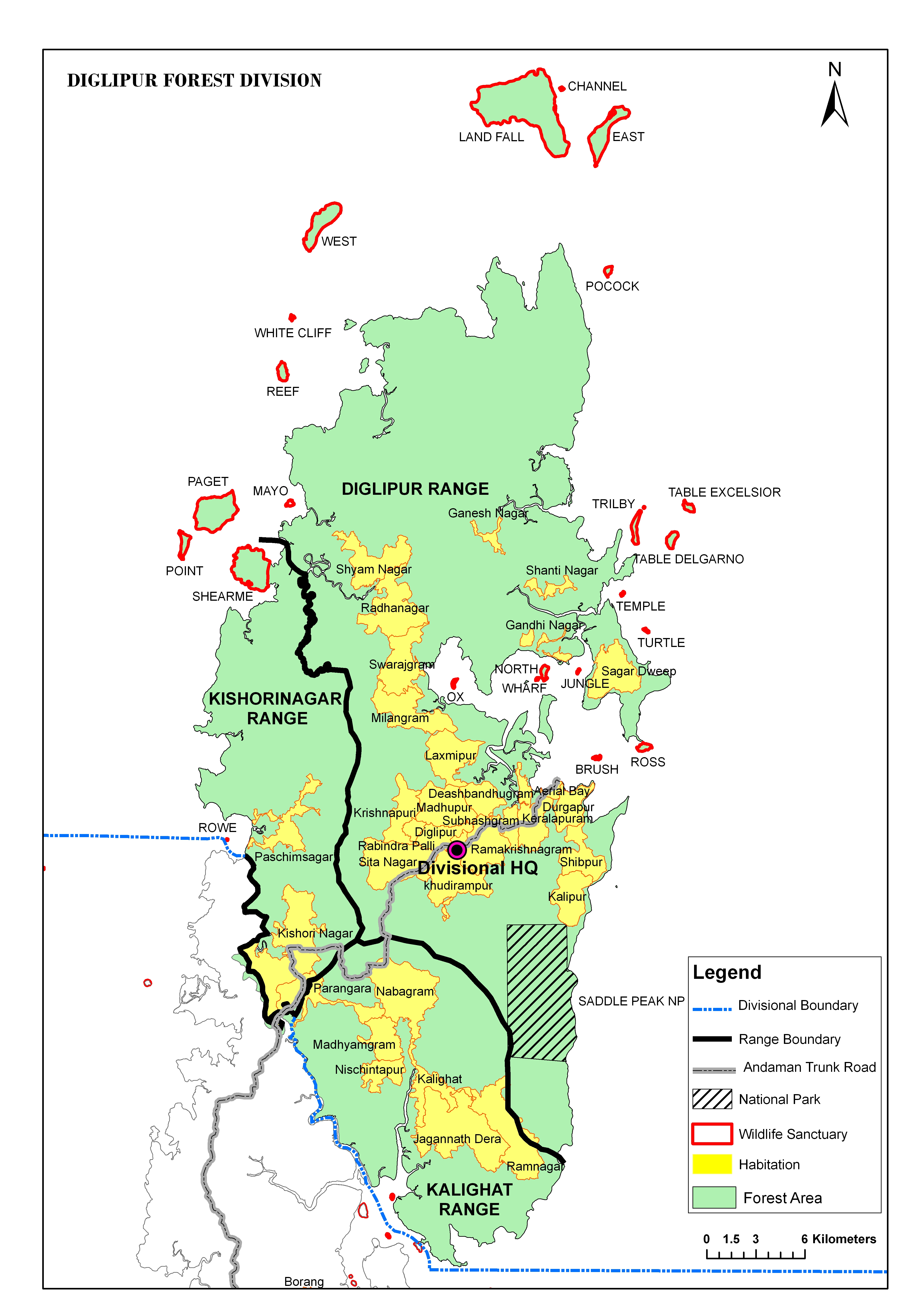
North Andaman Island is the northern island of Great Andaman of the Andaman Islands.[6] It belongs to the North and Middle Andaman administrative district, part of the Indian union territory of Andaman and Nicobar Islands.[7] the island is lying 137 km (85 mi) north from Port Blair.
Geography
[8] The island belongs to the Great Andaman group and lies north of Middle Andaman Island. many small island groups surround its beaches. The island's main town is Diglipur.
The island previously had an indigenous population of the Great Andamanese, for example, the Bo, but they are no longer present: the island is populated by immigrants from the Indian mainland and their descendants.
The island is home to the highest point in the archipelago, Saddle Peak at 738 metres.
North Andaman has fairly frequent large earthquakes, and suffered inundation from the 2004 Indian Ocean earthquake tsunami.
Administration
The entire island is part of Diglipur Taluk.[9]
Transportation
There is a small port at Durgapur, 6 km (4 mi) north of Diglipur, with regular services from Port Blair.
Economy
North Andaman is known for its marine life: the island's main industries are rice- and orange-growing.
References
- ^ "A&N Islands - Pincodes". 22 September 2016. Archived from the original on 23 March 2014. Retrieved 22 September 2016.
{{cite web}}: Unknown parameter|deadurl=ignored (|url-status=suggested) (help) - ^ "STD Codes of Andaman and Nicobar". allcodesindia.in. Retrieved 23 September 2016.
- ^ "Islandwise Area and Population - 2011 Census" (PDF). Government of Andaman.
- ^ "Sailing Directions (enroute) | India and the Bay of Bengal" (Document). National Geospatial-intelligence Agency, United States Government. 2014.
{{cite document}}: Unknown parameter|accessdate=ignored (help); Unknown parameter|issue=ignored (help); Unknown parameter|url=ignored (help) - ^ Registration Plate Numbers added to ISO Code
- ^ Island-wise Statistical Outline - 2008. NORTH ANDAMAN ISLAND (PDF)
- ^ "Village Code Directory: Andaman & Nicobar Islands" (PDF). Census of India. Retrieved 16 January 2011.
- ^ map
- ^ "DEMOGRAPHIC – A&N ISLANDS" (PDF). andssw1.and.nic.in. Retrieved 23 September 2016.
- Geological Survey of India
 Andaman and Nicobar Islands travel guide from Wikivoyage
This Andaman and Nicobar Islands location article is a stub. You can help Wikipedia by expanding it. |