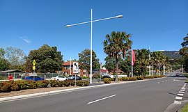
Mount Ousley, New South Wales
Appearance
| Mount Ousley Wollongong, New South Wales | |||||||||||||||
|---|---|---|---|---|---|---|---|---|---|---|---|---|---|---|---|
 | |||||||||||||||
| Coordinates | 34°24′S 150°52′E / 34.400°S 150.867°E | ||||||||||||||
| Population | 1,602 (2016 census)[1] | ||||||||||||||
| Postcode(s) | 2519 | ||||||||||||||
| Elevation | 45 m (148 ft) | ||||||||||||||
| Location |
| ||||||||||||||
| LGA(s) | City of Wollongong | ||||||||||||||
| State electorate(s) | Keira | ||||||||||||||
| Federal division(s) | Cunningham | ||||||||||||||
| |||||||||||||||
Mount Ousley is a residential suburb situated on the foothills of Mount Keira about four kilometres northwest from the city of Wollongong, New South Wales, Australia. It is also the name of the road which crosses the nearby Illawarra Escarpment and is adjacent to the University of Wollongong. Mount Ousley has a public school, Mount Ousley Public School in Fairy Meadow.
References
- ^ Australian Bureau of Statistics (27 June 2017). "Mount Ousley (State Suburb)". 2016 Census QuickStats. Retrieved 16 July 2017.

