Buracona
Appearance
| Buracona | |
|---|---|
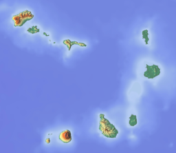
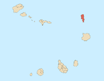
 Buracona, its location is in the northwest of the island | |
| Location | Northwestern Sal, Cape Verde |
| Coordinates | 16°47′56″N 22°59′30″W / 16.79889°N 22.99167°W |
Buracona is a small bay in the northwest of the island of Sal, Cape Verde. The bay is approximately 5 km north of the village Palmeira. The bay is part of the 5.45 km2 (2.10 sq mi) protected landscape of Buracona-Ragona,[1] which covers the coast between Palmeira and Ponta Preta, and the mountain Monte Leste (269 m elevation).[2]

See also
[edit]References
[edit]- ^ Resolução nº 36/2016 Archived 2021-01-18 at the Wayback Machine, Estratégia e Plano Nacional de Negócios das Áreas Protegidas
- ^ Paisagens Protegidas, Áreas protegidas Cabo Verde
Wikimedia Commons has media related to Buracona.


