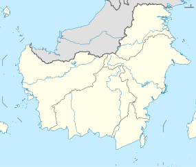
Arut River
| Arut River Sungai Arut, Soengai Aroet | |
|---|---|
| Location | |
| Country | Indonesia |
| Province | Central Kalimantan |
| Physical characteristics | |
| Source | |
| • location | West Kotawaringin Regency |
| Mouth | Lamandau River |
Arut River is a river in the province of Kalimantan Tengah, island of Borneo, Indonesia, about 700 km northeast of the capital Jakarta.[1] It is a tributary of the Lamandau River.[2] The Arut River like the Lamandau with tourists who navigate it by speedboats to visit the Dayak peoples.
Geography
The river flows in the southern area of Kalimantan with predominantly tropical rainforest climate (designated as Af in the Köppen-Geiger climate classification).[3] The annual average temperature in the area is 24 °C. The warmest month is October, when the average temperature is around 24 °C, and the coldest is July, at 22 °C.[4] The average annual rainfall is 2778 mm. The wettest month is November, with an average of 570 mm rainfall, and the driest is September, with 66 mm rainfall.[5]
See also
References
- ^ Sungai Arut at Geonames.org (cc-by); Last updated 2013-06-04; Database dump downloaded 2015-11-27
- ^ H. D. Rijksen; E. Meijaard (1999). Our vanishing relative: the status of wild orang-utans at the close of the twentieth century. Springer. pp. 209–210. ISBN 978-0-7923-5754-4.
- ^ Peel, M C; Finlayson, B L; McMahon, T A (2007). "Updated world map of the Köppen-Geiger climate classification". Hydrology and Earth System Sciences. 11: 1633–1644. doi:10.5194/hess-11-1633-2007. Retrieved 30 January 2016.
{{cite journal}}: Cite has empty unknown parameter:|1=(help) - ^ "NASA Earth Observations Data Set Index". NASA. 30 January 2016.
- ^ "NASA Earth Observations: Rainfall (1 month - TRMM)". NASA/Tropical Rainfall Monitoring Mission. 30 January 2016.


