Kolut
Kolut
Колут (Serbian) | |
|---|---|
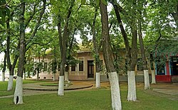
 village center | |
| Coordinates: 45°54′N 18°56′E / 45.900°N 18.933°E | |
| Country | |
| Province | |
| Region | Bačka (Podunavlje) |
| District | West Bačka |
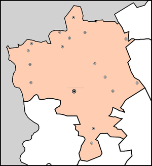
| Municipality | Sombor |
| Population (2002) | |
| • Total | 1,710 |
| Time zone | UTC+1 (CET) |
| • Summer (DST) | UTC+2 (CEST) |
Kolut (Serbian Cyrillic: Колут) is a village in Serbia. It is situated in the Sombor municipality, in the West Bačka District, Vojvodina province. The village has a Serb ethnic majority and its population numbering 1,710 people (2002 census).
History
It was first mentioned in 1261 under name Kulod,[citation needed] while in 1330 it was mentioned as Kulund,[citation needed] and several years later as Bel-Kulund[citation needed] during the administration of the medieval Kingdom of Hungary. During Ottoman administration (16th-17th century), the village of Kolut was populated by ethnic Serbs[citation needed]. In the 18th century, Germans and Hungarians settled here as well. After World War II, the village was settled by 436 families from Lika and Gorski Kotar.
Historical population
- 1961: 2,597
- 1971: 2,148
- 1981: 1,866
- 1991: 1,710
- 2002: 1,710
- 2010: 1,356
See also
References
- Slobodan Ćurčić, Broj stanovnika Vojvodine, Novi Sad, 1996.


