Gayo Lues Regency
Gayo Lues Regency
Kabupaten Gayo Lues | |
|---|---|
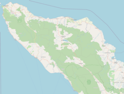
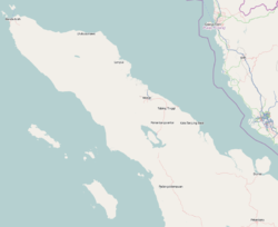
 Location within Aceh | |
| Coordinates: 4°N 97°E / 4°N 97°E | |
| Country | Indonesia |
| Region | Sumatra |
| Province | Aceh |
| Established | 2002 |
| Regency seat | Blangkejeren |
| Government | |
| • Regent | Muhammad Amru |
| • Vice Regent | Said Sani |
| Area | |
| • Total | 5,719.58 km2 (2,208.34 sq mi) |
| Population (mid 2019)[1] | |
| • Total | 92,834 |
| • Density | 16/km2 (42/sq mi) |
| Time zone | UTC+7 (IWST) |
| Area code | (+62) 629 |
| Website | gayolueskab.go.id |
Gayo Lues Regency is a regency in the Aceh Special Region of Indonesia. It is located on the island of Sumatra. The regency was created in 2002 under Statute UU 4/2002 from the northern part of Aceh Tenggara (Southeast Aceh Regency). Its capital is Blangkejeren. The regency covers an area of 5,719.58 square kilometres and according to the 2010 census had a population of 79,560; the latest official estimate (as at 1 July 2019) is 92,834.[2] Along with the Central Aceh Regency and the Bener Meriah Regency it is home to the Gayo people.[3]
90% of the inhabitants make their living from farming. Products include chili peppers, tobacco, coffee, and lemongrass, fish, rice, candle nut, pataculi, coconut, vanilla, kapok, chocolate, sugarcane, ginger, clove, casslevera, turmeric, and sugar palm.[4] Logging is reportedly a major problem in the regency which is the least populated area of the province with less than 2% of the total population.[5]
Administrative divisions
The regency is divided administratively into eleven districts (kecamatan), listed below with their areas and populations at the 2010 Census.[6]
| Kecamatan | Area in km2 |
Population at 2010 Census[7] |
|---|---|---|
| Blangkejeren | 153.4 | 24,434 |
| Kuta Panjang | 285.1 | 7,330 |
| Pinding | 1,601.2 | 4,320 |
| Rikit Gaib | 219.2 | 3,770 |
| Terangun | 665.0 | 7,953 |
| Putri Betung | 726.7 | 6,607 |
| Blang Pegayon | 246.1 | 5,099 |
| Dabun Gelang | 490.4 | 5,277 |
| Blang Jerango | 345.2 | 6,379 |
| Tripe Jaya | 491.5 | 4,910 |
| Pantan Cuaca | 226.9 | 3,481 |
See also
References
- ^ Badan Pusat Statistik, Jakarta, 2019.
- ^ Badan Pusat Statistik, Jakarta, 2019.
- ^ Library Information and Research Service (2004). The Middle East, abstracts and index. Northumberland Press. Retrieved 20 December 2010.
- ^ "Gayo Lues" (PDF). Aceh Investment and Promotion Board. Archived from the original (PDF) on July 7, 2011. Retrieved December 24, 2010.
- ^ Davies, Matthew N. (2006). Indonesia's war over Aceh: last stand on Mecca's porch. Taylor & Francis. pp. 45–. ISBN 978-0-415-37239-8. Retrieved 21 December 2010.
- ^ Biro Pusat Statistik, Jakarta, 2011.
- ^ Biro Pusat Statistik, Jakarta, 2011.


