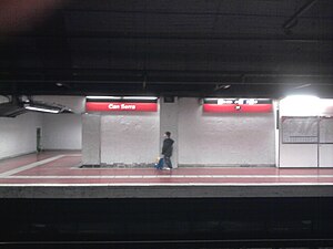
Can Serra station
Appearance
Can Serra | |||||||||||
|---|---|---|---|---|---|---|---|---|---|---|---|
| Barcelona Metro rapid transit station | |||||||||||
 | |||||||||||
| General information | |||||||||||
| Location | L'Hospitalet de Llobregat | ||||||||||
| Coordinates | 41°22′2″N 2°6′11″E / 41.36722°N 2.10306°E | ||||||||||
| Owned by | Transports Metropolitans de Barcelona | ||||||||||
| Construction | |||||||||||
| Structure type | Underground | ||||||||||
| Other information | |||||||||||
| Fare zone | 1 (ATM) | ||||||||||
| History | |||||||||||
| Opened | 1987 | ||||||||||
| Services | |||||||||||
| |||||||||||
Can Serra is a Barcelona Metro station, in the L'Hospitalet de Llobregat municipality of the Barcelona metropolitan area, and named after the nearby Can Serra neighbourhood. The station is served by line L1.[1][2]
The station is located under Parc de les Planes between the Carrer de Molí and the Avinguda d'Isabel la Catòlica. There are entrances from both the park and from Avinguda de Can Serra, which serve an underground ticket hall. The two 96-metre (315 ft) long side platforms are at a lower level.[2]
The station opened in 1987, when line L1 was extended from Torrassa station to Avinguda Carrilet station.[1][2]
See also
References
- ^ a b "Track map of the Barcelona Metro". carto.metro.free.fr. Retrieved 2015-02-04.
- ^ a b c "Can Serra" (in Catalan). trenscat.com. Retrieved 2015-02-04.
External links
 Media related to Can Serra metro station at Wikimedia Commons

